UN/LOCODE hub · United States
USEVF
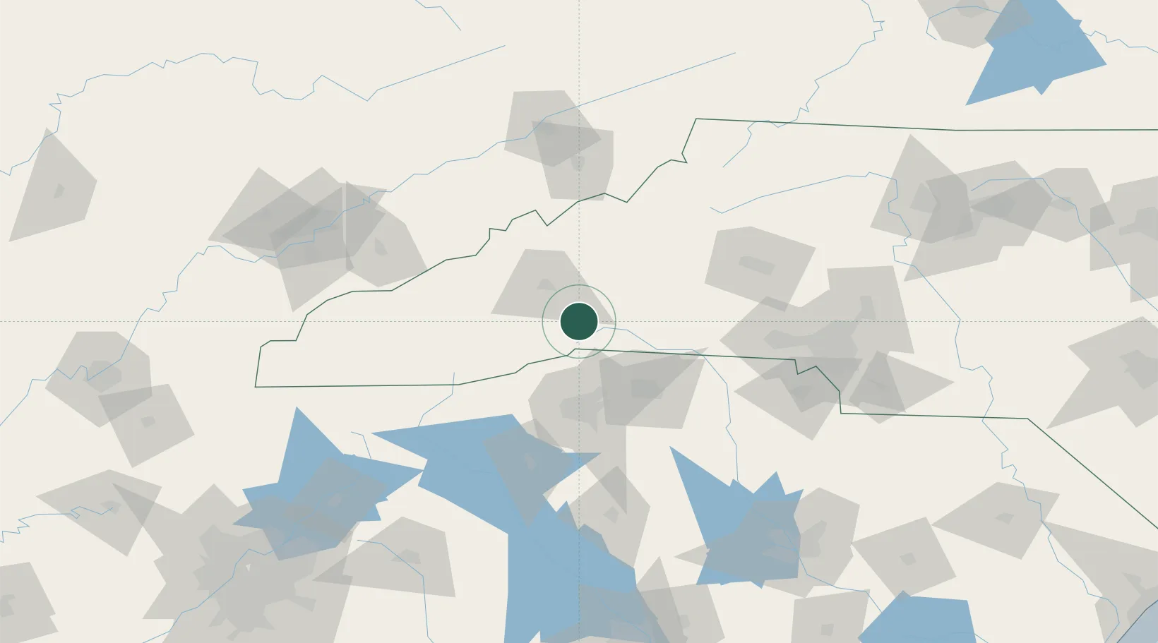
Edneyville
35.3833°, -82.3667°
2,367
Population
2
Transport functions
Transport Functions
Road
Multimodal
Hub Profile
Place type
Populated place
Region
North Carolina
Population
2,367
Time zone
America/New_York
Elevation
684 m
Location
Nearby Logistics Neighbours
Ports
- 1Georgetown361 km
- 2Beaufort364 km
- 3Charleston367 km
- 4Port Royal370 km
- 5Savannah386 km
Airports
Trade Zones
- 1FTZ No. 038 Spartanburg County56 km
- 2FTZ No. 057 Mecklenburg County117 km
- 3FTZ No. 204 Tri-Cities122 km
- 4FTZ No. 148 Knoxville181 km
- 5FTZ No. 127 West Columbia192 km
DatabookThe Record of Consolidated Knowledge
United States beyond logistics?