Transport Functions
Port
Rail
Road
Multimodal
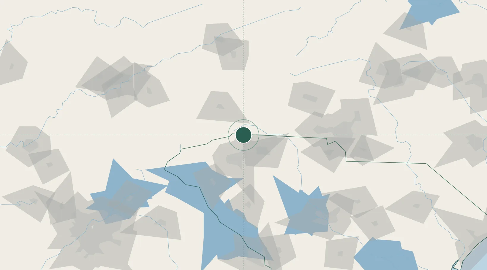
Hub Profile
Place type
Populated place
Region
North Carolina
Population
1,632
Time zone
America/New_York
Elevation
336 m
Location
Nearby Logistics Neighbours
Cities
- 1Landrum6 km
- 2Columbus7 km
- 3Zirconia16 km
- 4New Prospect20 km
- 5Edneyville24 km
Ports
- 1Georgetown339 km
- 2Beaufort340 km
- 3Charleston343 km
- 4Port Royal346 km
- 5Savannah363 km
Airports
Trade Zones
- 1FTZ No. 038 Spartanburg County35 km
- 2FTZ No. 057 Mecklenburg County105 km
- 3FTZ No. 204 Tri-Cities143 km
- 4FTZ No. 127 West Columbia168 km
- 5FTZ No. 148 Knoxville200 km
DatabookThe Record of Consolidated Knowledge
United States beyond logistics?