Transport Functions
Road
Multimodal
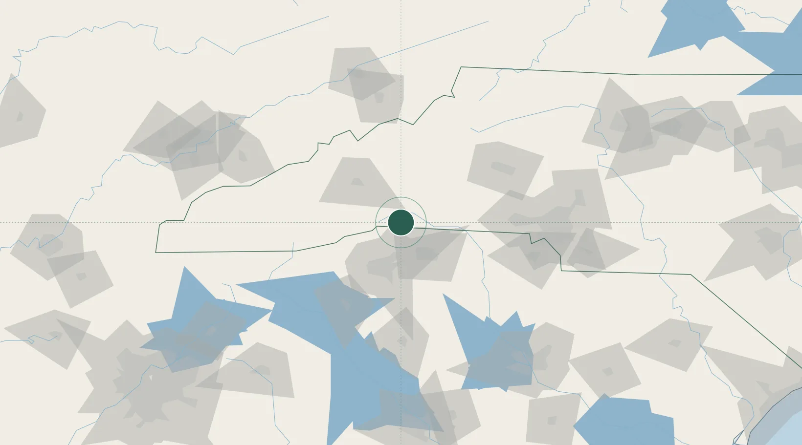
Hub Profile
Place type
Provincial seat
Region
North Carolina
Population
994
Time zone
America/New_York
Elevation
336 m
Location
Nearby Logistics Neighbours
Cities
- 1Tryon7 km
- 2Landrum9 km
- 3Zirconia20 km
- 4New Prospect20 km
- 5Edneyville22 km
Ports
- 1Georgetown339 km
- 2Beaufort343 km
- 3Charleston345 km
- 4Port Royal349 km
- 5Savannah367 km
Airports
Trade Zones
- 1FTZ No. 038 Spartanburg County41 km
- 2FTZ No. 057 Mecklenburg County100 km
- 3FTZ No. 204 Tri-Cities139 km
- 4FTZ No. 127 West Columbia170 km
- 5FTZ No. 148 Knoxville202 km
DatabookThe Record of Consolidated Knowledge
United States beyond logistics?