Transport Functions
Port
Road
Hub Profile
Place type
Populated place
Region
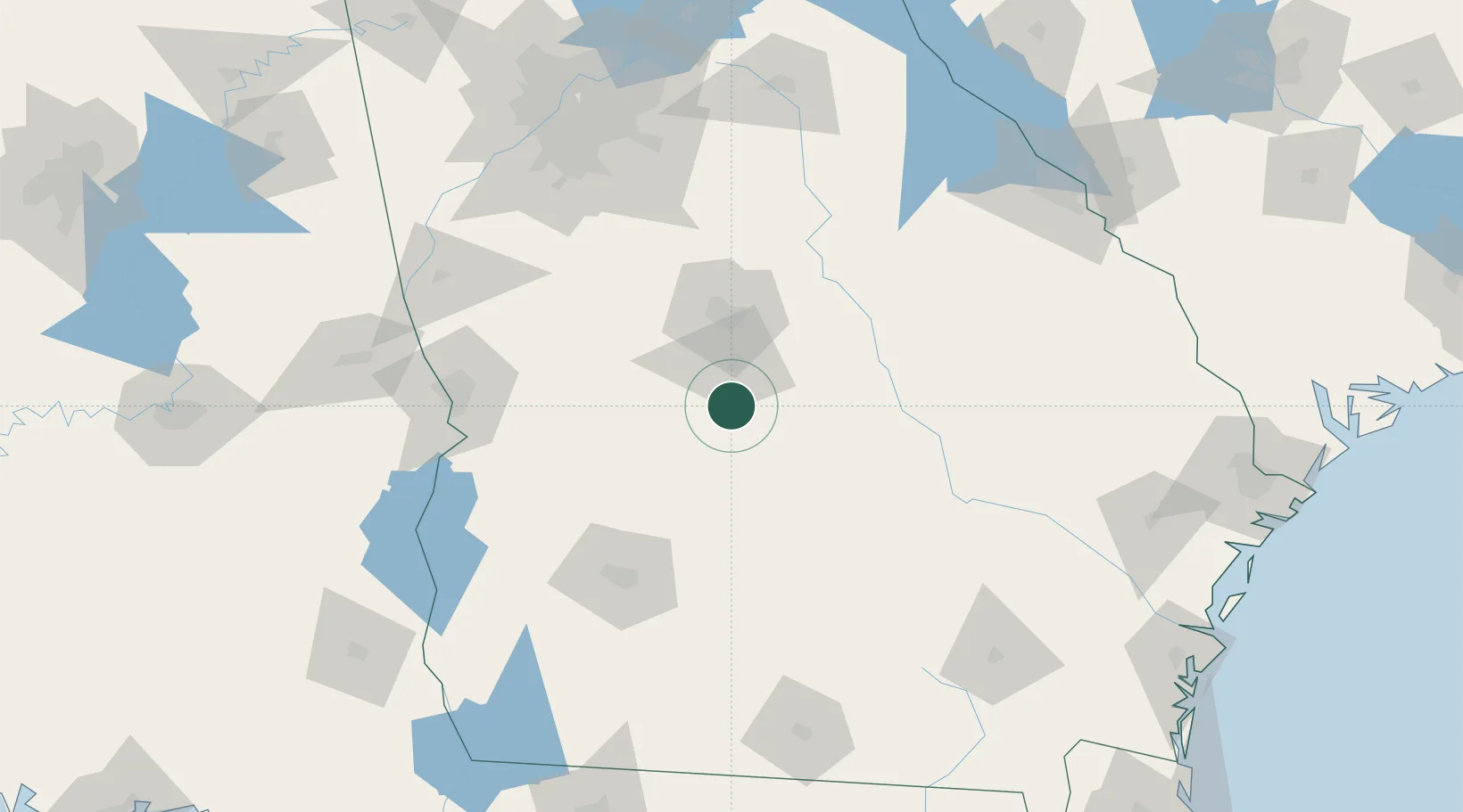
Georgia
Time zone
America/New_York
Elevation
79 m
Location
Nearby Logistics Neighbours
Cities
- 1Bonaire27 km
- 2Cochran27 km
- 3Marshallville28 km
- 4Lilly38 km
- 5Vienna40 km
Ports
- 1Darien238 km
- 2Savannah243 km
- 3Brunswick246 km
- 4Port Royal277 km
- 5Beaufort278 km
Airports
- 1Robins Air Force Base25 km
- 2Middle Georgia Regional Airport31 km
- 3Southwest Georgia Regional Airport112 km
- 4Columbus Airport123 km
- 5Lawson Army Air Field128 km
Trade Zones
- 1FTZ No. 026 Atlanta165 km
- 2FTZ No. 233 Dothan215 km
- 3FTZ No. 104 Savannah242 km
- 4FTZ No. 144 Brunswick246 km
- 5FTZ No. 222 Montgomery251 km
DatabookThe Record of Consolidated Knowledge
United States beyond logistics?