Transport Functions
Rail
Road
Hub Profile
Place type
Provincial seat
Region
Georgia
Population
3,777
Time zone
America/New_York
Elevation
97 m
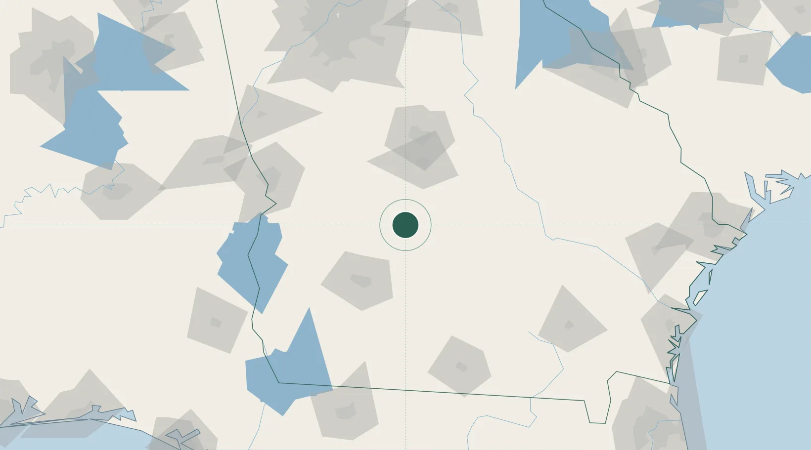
Location
Nearby Logistics Neighbours
Cities
- 1Lilly12 km
- 2Clinchfield40 km
- 3Rebecca42 km
- 4Marshallville43 km
- 5Sycamore48 km
Ports
- 1Darien236 km
- 2Brunswick240 km
- 3Savannah254 km
- 4Carrabelle262 km
- 5Fernandina Beach269 km
Airports
- 1Robins Air Force Base65 km
- 2Middle Georgia Regional Airport69 km
- 3Southwest Georgia Regional Airport73 km
- 4Lawson Army Air Field117 km
- 5Columbus Airport119 km
Trade Zones
- 1FTZ No. 233 Dothan182 km
- 2FTZ No. 026 Atlanta195 km
- 3FTZ No. 144 Brunswick240 km
- 4FTZ No. 222 Montgomery240 km
- 5FTZ No. 104 Savannah253 km
DatabookThe Record of Consolidated Knowledge
United States beyond logistics?