Transport Functions
Road
Multimodal
Hub Profile
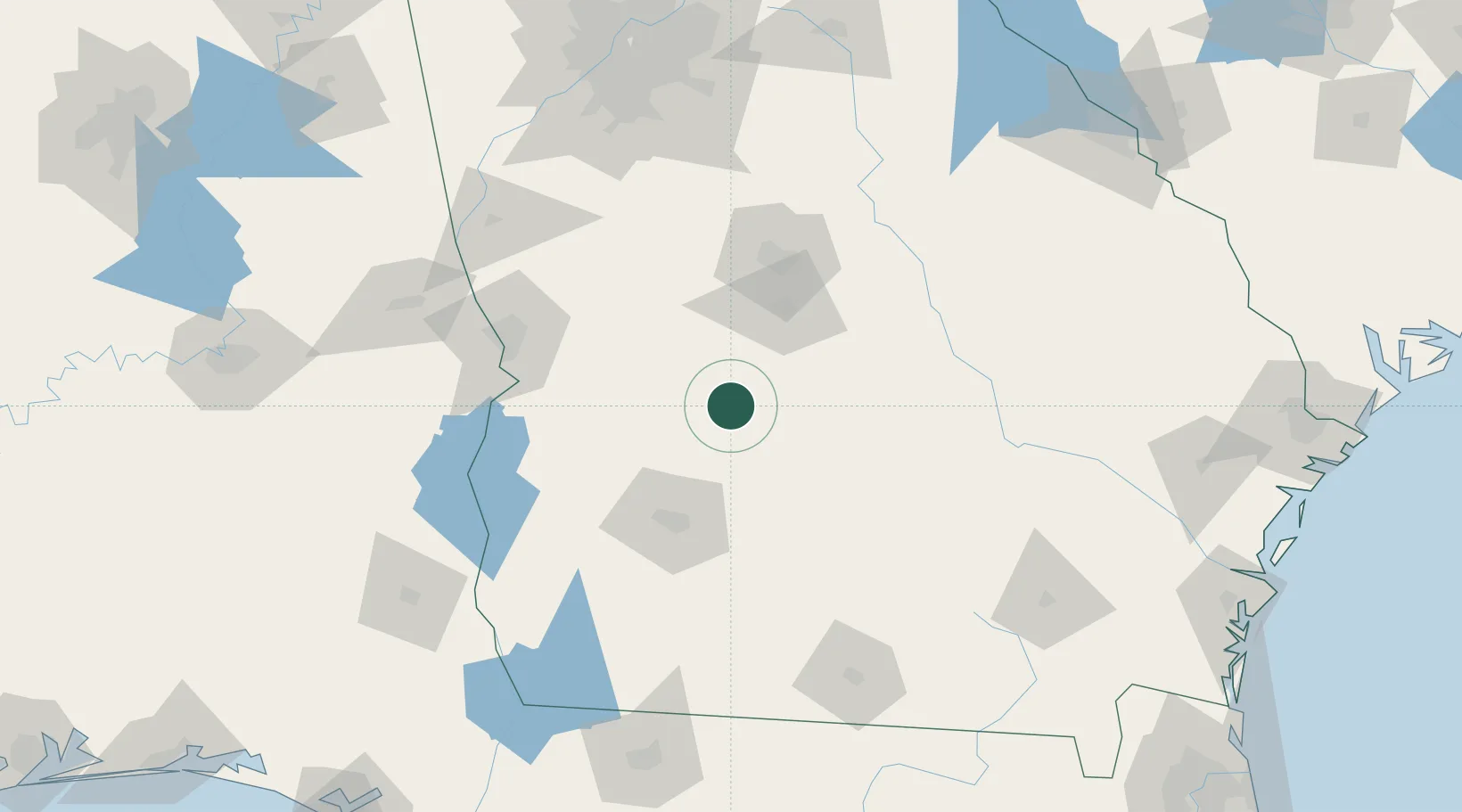
Place type
Populated place
Region
Georgia
Population
204
Time zone
America/New_York
Elevation
106 m
Location
Nearby Logistics Neighbours
Cities
- 1Vienna12 km
- 2Marshallville34 km
- 3Clinchfield38 km
- 4Ellaville40 km
- 5Bonaire43 km
Ports
- 1Darien248 km
- 2Brunswick252 km
- 3Savannah264 km
- 4Carrabelle266 km
- 5Panama City280 km
Airports
- 1Robins Air Force Base61 km
- 2Middle Georgia Regional Airport64 km
- 3Southwest Georgia Regional Airport75 km
- 4Lawson Army Air Field106 km
- 5Columbus Airport107 km
Trade Zones
- 1FTZ No. 233 Dothan178 km
- 2FTZ No. 026 Atlanta185 km
- 3FTZ No. 222 Montgomery230 km
- 4FTZ No. 144 Brunswick251 km
- 5FTZ No. 104 Savannah263 km
DatabookThe Record of Consolidated Knowledge
United States beyond logistics?