UN/LOCODE hub · United States
USZPL
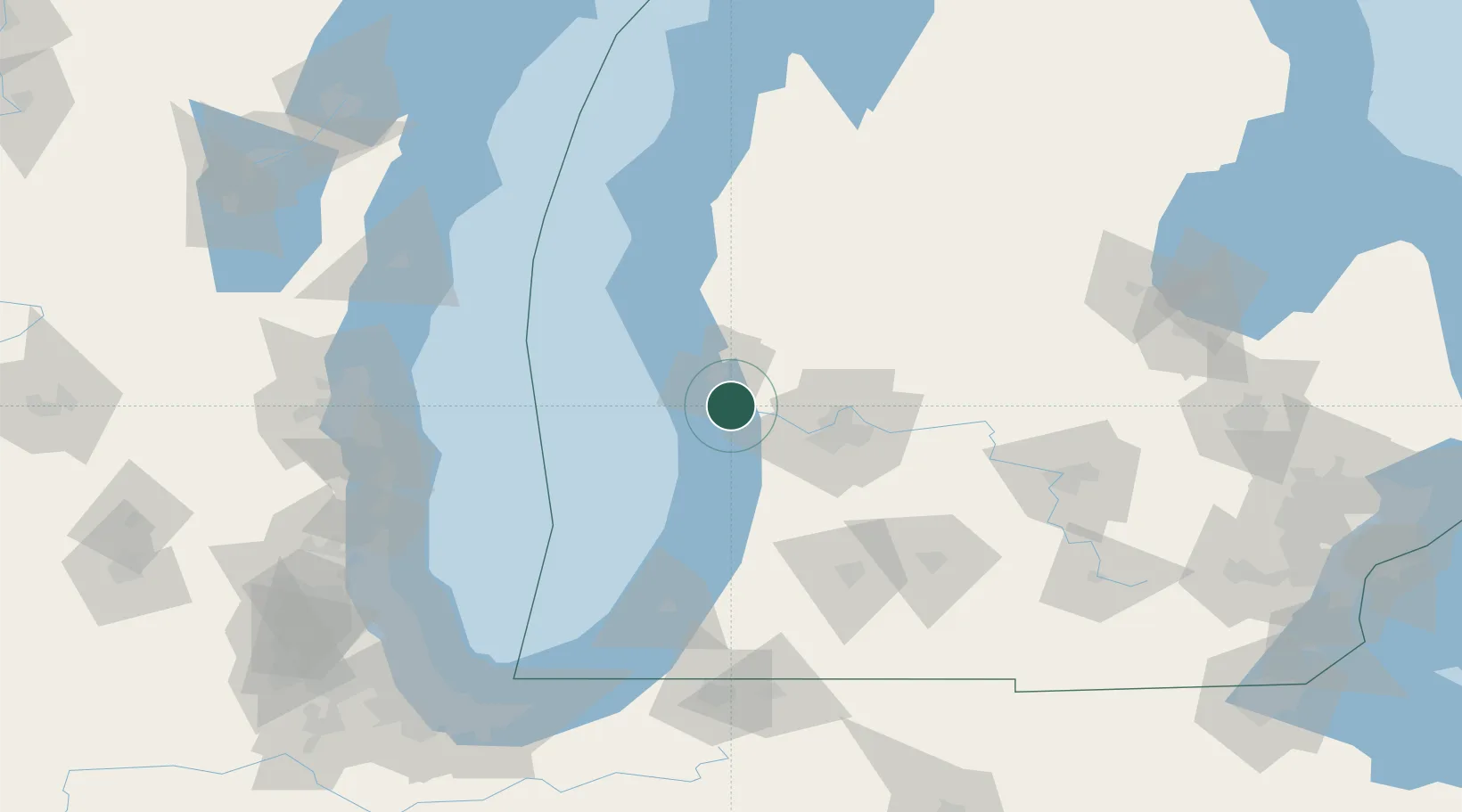
Spring Lake
43.0667°, -86.1667°
2,480
Population
2
Transport functions
Transport Functions
Rail
Road
Hub Profile
Place type
Populated place
Region
Michigan
Population
2,480
Time zone
America/Detroit
Elevation
182 m
Location
Nearby Logistics Neighbours
Cities
- 1Norton Shores12 km
- 2West Olive17 km
- 3Muskegon18 km
- 4Coopersville19 km
- 5Marne29 km
Ports
- 1Grand Haven5 km
- 2Muskegon20 km
- 3Holland32 km
- 4White Lake38 km
- 5South Haven75 km
Airports
Trade Zones
- 1FTZ No. 189 Kent Ottawa/Muskegon Counties21 km
- 2FTZ No. 019 Omaha54 km
- 3FTZ No. 043 Battle Creek109 km
- 4FTZ No. 101 Clinton County117 km
- 5FTZ No. 125 South Bend156 km
DatabookThe Record of Consolidated Knowledge
United States beyond logistics?