UN/LOCODE hub · United States
USMKG
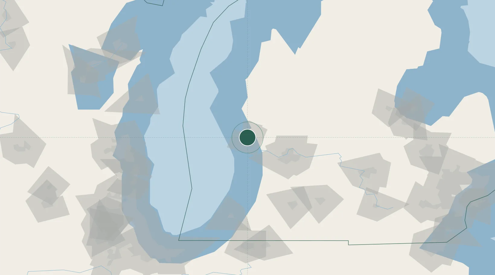
Muskegon
43.2167°, -86.2333°
38,401
Population
3
Transport functions
Transport Functions
Port
Road
Airport
Hub Profile
Place type
Provincial seat
Region
Michigan
Population
38,401
Time zone
America/Detroit
Elevation
188 m
Location
Nearby Logistics Neighbours
Cities
- 1Norton Shores8 km
- 2Twin Lake16 km
- 3Spring Lake18 km
- 4Coopersville30 km
- 5Rothbury33 km
Ports
- 1Grand Haven17 km
- 2White Lake21 km
- 3Holland49 km
- 4Ludington83 km
- 5South Haven91 km
Airports
Trade Zones
DatabookThe Record of Consolidated Knowledge
United States beyond logistics?