UN/LOCODE hub · United States
USZCP
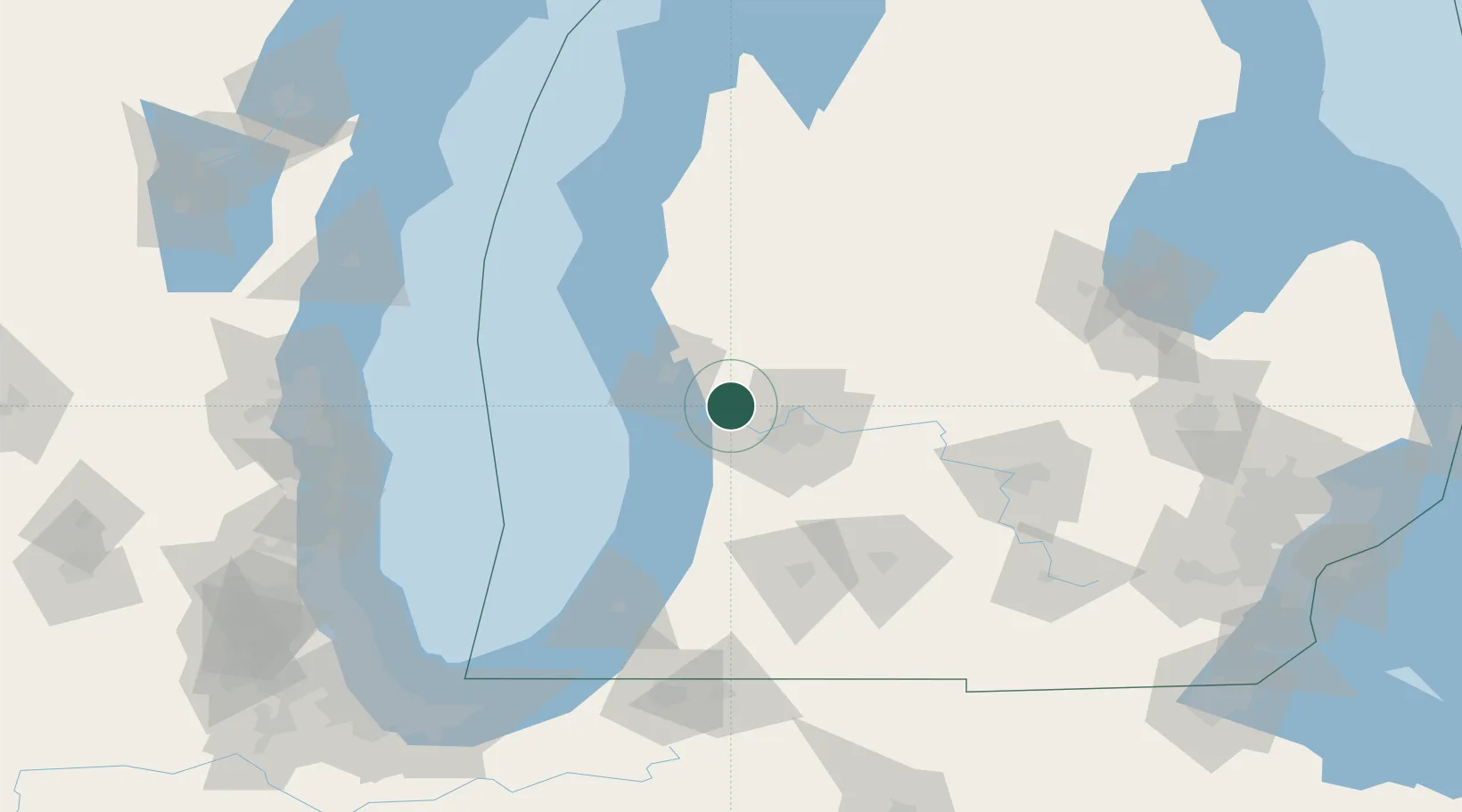
Coopersville
43.0667°, -85.9333°
4,351
Population
3
Transport functions
Transport Functions
Rail
Road
Multimodal
Hub Profile
Place type
Populated place
Region
Michigan
Population
4,351
Time zone
America/Detroit
Elevation
195 m
Location
Nearby Logistics Neighbours
Cities
- 1Marne10 km
- 2Spring Lake19 km
- 3Comstock Park21 km
- 4Jenison21 km
- 5Kent City22 km
Ports
- 1Grand Haven24 km
- 2Muskegon33 km
- 3Holland36 km
- 4White Lake49 km
- 5South Haven80 km
Airports
Trade Zones
DatabookThe Record of Consolidated Knowledge
United States beyond logistics?