UN/LOCODE hub · United States
USQMM

Marne

43.0333°, -85.8167°
2
Transport functions

Transport Functions

Port
Road
UN/LOCODE

Hub Profile

Place type
Populated place
GeoNames
Region
Michigan
GeoNames
Time zone
America/Detroit
GeoNames
Elevation
205 m
GeoNames

Location

Location of USQMM
Natural Earth 10m (public domain) · Michigan · USQMM · 43.03, -85.82GoogleOSMYandex

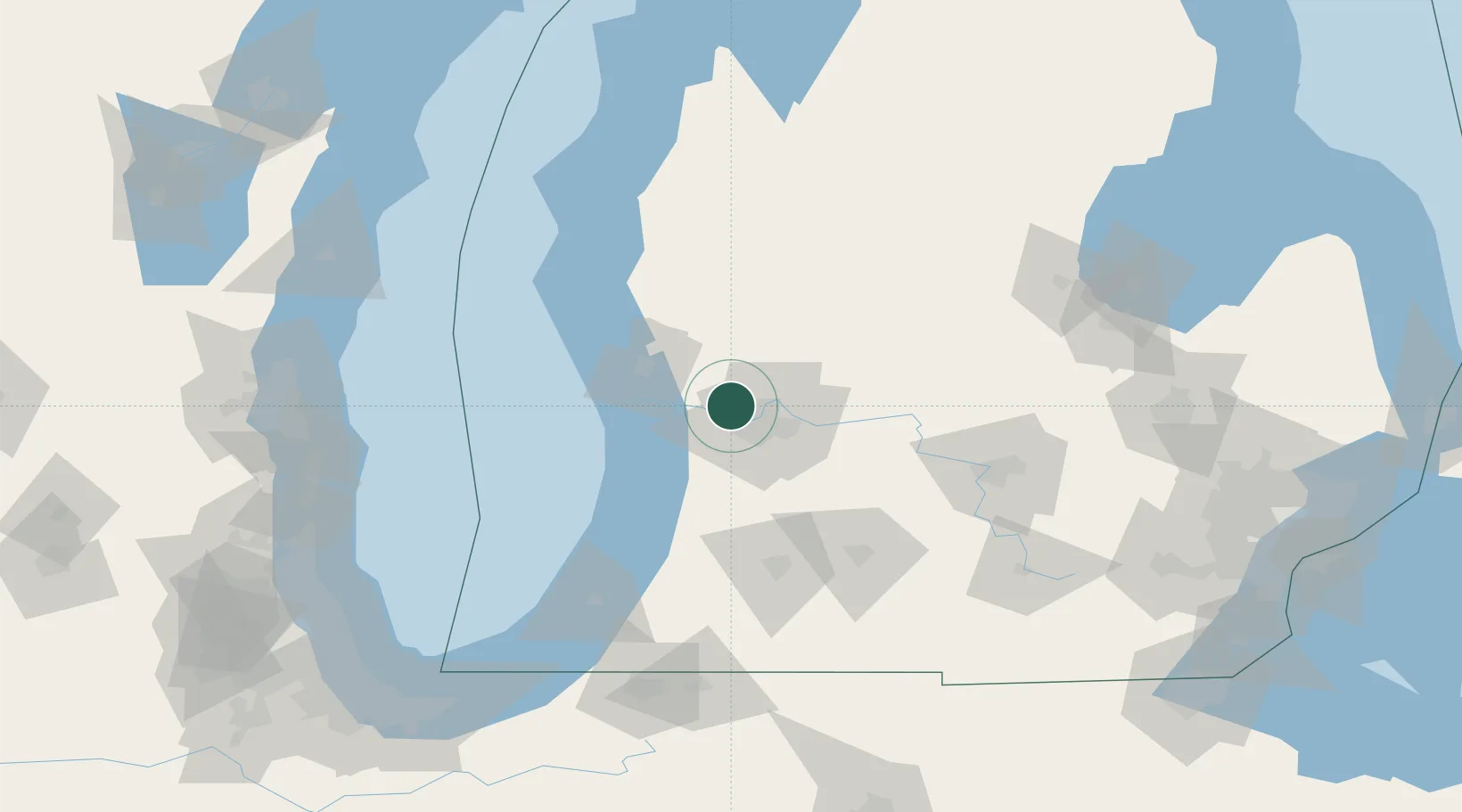
Nearby Logistics Neighbours

Cities
  1. 1Coopersville10 km
  2. 2Comstock Park11 km
  3. 3Jenison15 km
  4. 4Belmont18 km
  5. 5Grand Rapids20 km
Nearest neighbours — logibook spatial index (haversine) over the source coordinates
Ports
  1. 1Grand Haven34 km
  2. 2Holland38 km
  3. 3Muskegon43 km
  4. 4White Lake58 km
  5. 5South Haven80 km
Nearest neighbours — logibook spatial index (haversine) over the source coordinates
Airports
  1. 1Gerald R. Ford International Airport29 km
  2. 2Muskegon County Airport37 km
  3. 3Kalamazoo/Battle Creek International Airport92 km
  4. 4Battle Creek Executive Airport at Kellogg Field93 km
  5. 5Capital Region International Airport104 km
Nearest neighbours — logibook spatial index (haversine) over the source coordinates
Trade Zones
  1. 1FTZ No. 189 Kent Ottawa/Muskegon Counties45 km
  2. 2FTZ No. 019 Omaha81 km
  3. 3FTZ No. 101 Clinton County88 km
  4. 4FTZ No. 043 Battle Creek89 km
  5. 5FTZ No. 284 Genesee County150 km
Nearest neighbours — logibook spatial index (haversine) over the source coordinates
DatabookThe Record of Consolidated Knowledge
United States beyond logistics?
Browse databook

All Sources

LocationsUN/LOCODE
UN/LOCODE — free
Portsthe NGA World Port Index
Public domain (US gov)
AirportsOurAirports
Public domain
Trade Zonesthe World Bank SEZ database
CC BY 4.0
Trade ZonesOpen Zone Map
CC BY
← United States locations