UN/LOCODE hub · United States
USMC6
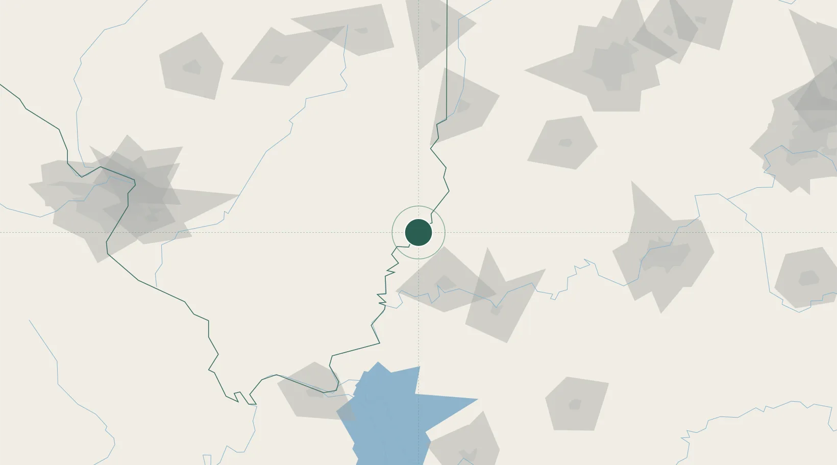
Mount Carmel
38.4167°, -87.7667°
7,027
Population
2
Transport functions
Transport Functions
Rail
Road
Hub Profile
Place type
Provincial seat
Region
Illinois
Population
7,027
Time zone
America/Chicago
Elevation
137 m
Location
Nearby Logistics Neighbours
Cities
- 1Owensville18 km
- 2West Salem23 km
- 3Fort Branch26 km
- 4Griffin27 km
- 5Grayville28 km
Ports
- 1Gary358 km
- 2Indiana Harbor363 km
- 3Calumet Harbor369 km
- 4Michigan City376 km
- 5Chicago386 km
Airports
Trade Zones
- 1FTZ No. 177 Evansville49 km
- 2FTZ No. 294 Western Kentucky166 km
- 3FTZ No. 029 Louisville172 km
- 4FTZ No. 072 Indianapolis192 km
- 5FTZ No. 245 Decatur195 km
DatabookThe Record of Consolidated Knowledge
United States beyond logistics?