Medium airport · United States
Terre Haute Regional Airport, Hulman FieldKHUF
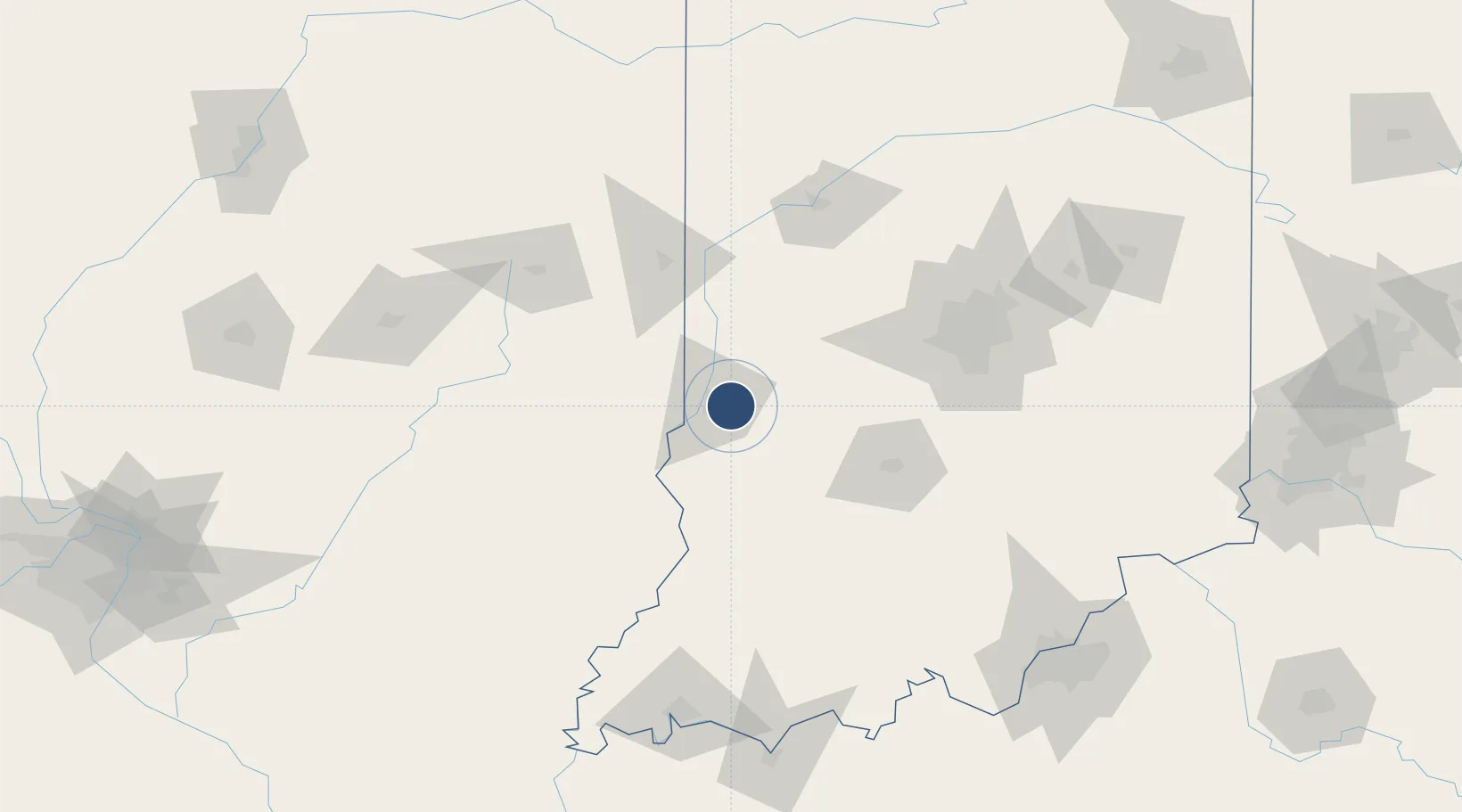
39.4515°, -87.3076°
9,021 ft
Longest runway
2
Runways
589 ft
Elevation
Runway & Layout

Radio Frequencies
ATIS
127.5 MHz
ASOS
127.5 MHz
TWR
134.725 MHz
GND
121.6 MHz
A/D
119.8 MHz
HULMAN A/D SECONDARY
A/D
125.45 MHz
HULMAN A/D
CTR
132.2 MHz
INDIANAPOLIS CENTER
OPS
143.55 MHz
RACER OPS
RDO
122.2 MHz
UNIC
122.95 MHz
UNICOM
Navaids
HU NDB Yinno 245 kHz
TTH VORTAC Terre Haute 115.30 MHz
Runways · 2
| Runway | Dimensions | Surface | True heading | Lit |
|---|---|---|---|---|
| 05/23 | 9,021 × 150ft | Asphalt | 047° | ✓ |
| 14/32 | 7,200 × 150ft | Asphalt / concrete | 135° | ✓ |
Airport Specifications
IATA code
HUF
ICAO code
KHUF
Airport class
Medium airport
Scheduled service
No
Runway surface
Asphalt
Served city
Terre Haute
Location
Nearby Logistics Neighbours
Airports
Cities
- 1West Terre Haute12 km
- 2Brazil18 km
- 3Sandford20 km
- 4Reelsville31 km
- 5Rockville34 km
Ports
- 1Gary241 km
- 2Indiana Harbor247 km
- 3Calumet Harbor254 km
- 4Michigan City256 km
- 5Chicago272 km
Trade Zones
- 1FTZ No. 072 Indianapolis90 km
- 2FTZ No. 245 Decatur157 km
- 3FTZ No. 177 Evansville164 km
- 4FTZ No. 029 Louisville185 km
- 5FTZ No. 047 Boone County216 km
DatabookThe Record of Consolidated Knowledge
United States beyond logistics?