UN/LOCODE hub · United States
USNPS

New Prospect

35.1167°, -82.0333°
2
Transport functions

Transport Functions

Road
Multimodal
UN/LOCODE

Hub Profile

Place type
Populated place
GeoNames
Region
South Carolina
GeoNames
Time zone
America/New_York
GeoNames
Elevation
281 m
GeoNames

Location

Location of USNPS
Natural Earth 10m (public domain) · South Carolina · USNPS · 35.12, -82.03GoogleOSMYandex

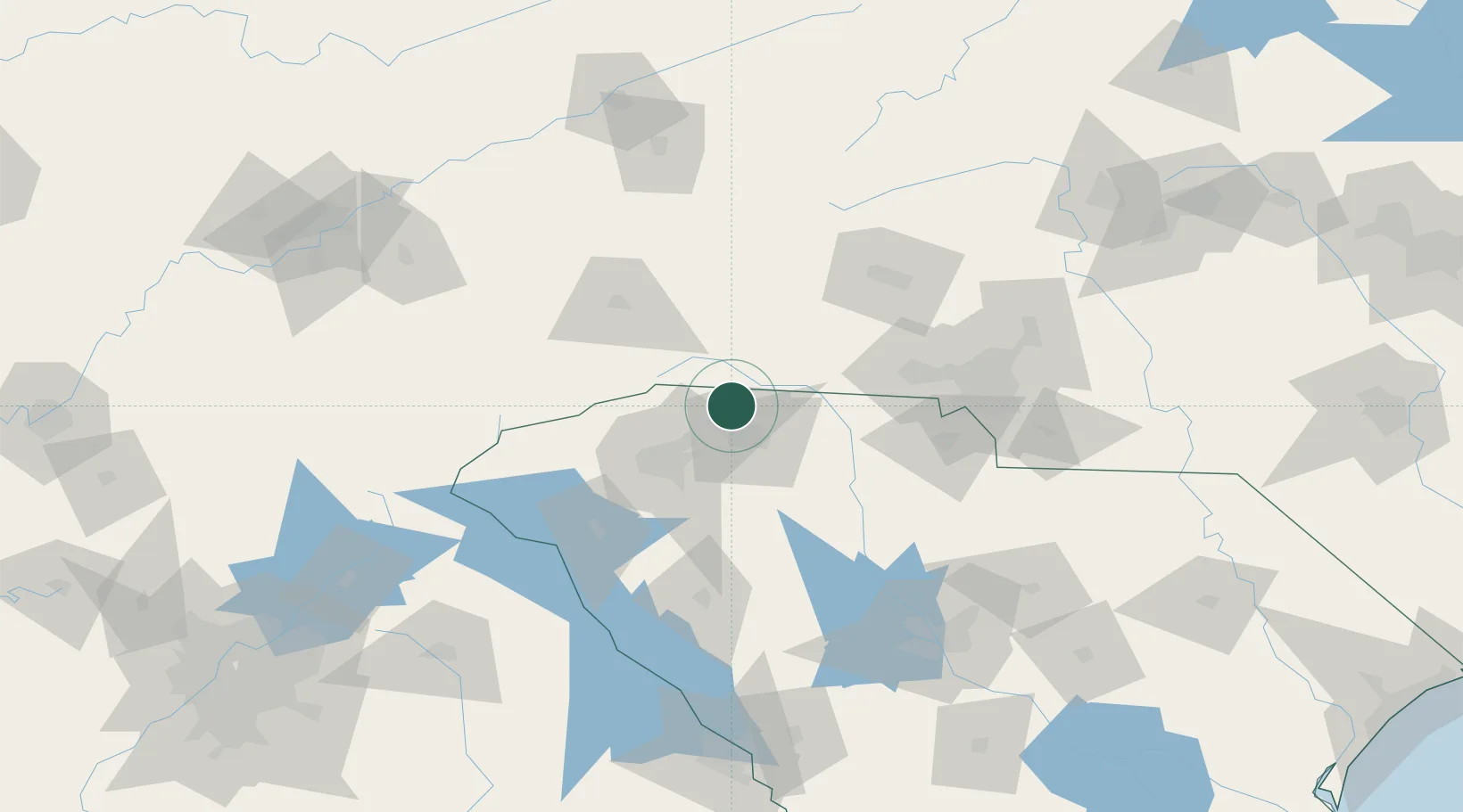
Nearby Logistics Neighbours

Cities
  1. 1Carlisle, Spartanburg11 km
  2. 2Landrum15 km
  3. 3Mayo17 km
  4. 4Columbus20 km
  5. 5Tryon20 km
Nearest neighbours — logibook spatial index (haversine) over the source coordinates
Ports
  1. 1Georgetown319 km
  2. 2Beaufort324 km
  3. 3Charleston325 km
  4. 4Port Royal330 km
  5. 5Savannah349 km
Nearest neighbours — logibook spatial index (haversine) over the source coordinates
Airports
  1. 1Greenville-Spartanburg International Airport30 km
  2. 2Greenville Downtown Airport42 km
  3. 3Asheville Regional Airport58 km
  4. 4Hickory Regional Airport91 km
  5. 5Anderson Regional Airport93 km
Nearest neighbours — logibook spatial index (haversine) over the source coordinates
Trade Zones
  1. 1FTZ No. 038 Spartanburg County32 km
  2. 2FTZ No. 057 Mecklenburg County88 km
  3. 3FTZ No. 127 West Columbia150 km
  4. 4FTZ No. 204 Tri-Cities156 km
  5. 5FTZ No. 230 Piedmont Triad Area208 km
Nearest neighbours — logibook spatial index (haversine) over the source coordinates
DatabookThe Record of Consolidated Knowledge
United States beyond logistics?
Browse databook

All Sources

LocationsUN/LOCODE
UN/LOCODE — free
Portsthe NGA World Port Index
Public domain (US gov)
AirportsOurAirports
Public domain
Trade Zonesthe World Bank SEZ database
CC BY 4.0
Trade ZonesOpen Zone Map
CC BY
← United States locations