Transport Functions
Rail
Road
Multimodal
Hub Profile
Place type
Populated place
Region
South Carolina
Population
2,493
Time zone
America/New_York
Elevation
319 m
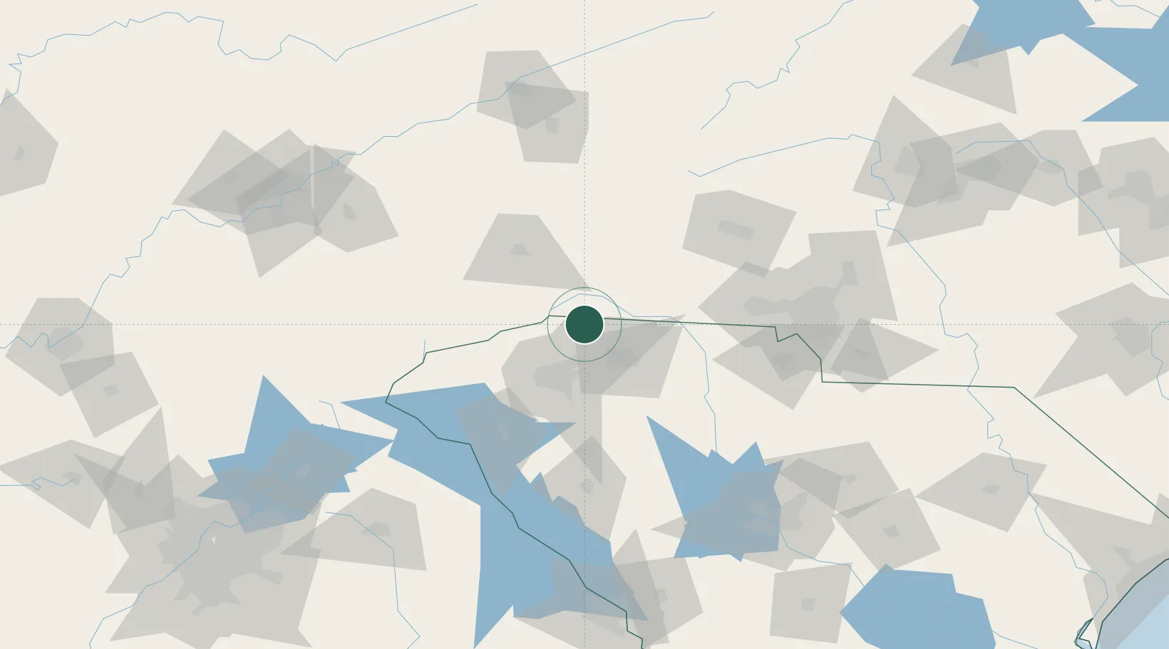
Location
Nearby Logistics Neighbours
Cities
- 1Tryon6 km
- 2Columbus9 km
- 3New Prospect15 km
- 4Zirconia21 km
- 5Carlisle, Spartanburg25 km
Ports
- 1Georgetown333 km
- 2Beaufort335 km
- 3Charleston338 km
- 4Port Royal341 km
- 5Savannah358 km
Airports
Trade Zones
- 1FTZ No. 038 Spartanburg County32 km
- 2FTZ No. 057 Mecklenburg County100 km
- 3FTZ No. 204 Tri-Cities148 km
- 4FTZ No. 127 West Columbia163 km
- 5FTZ No. 148 Knoxville206 km
DatabookThe Record of Consolidated Knowledge
United States beyond logistics?