Transport Functions
Road
Multimodal
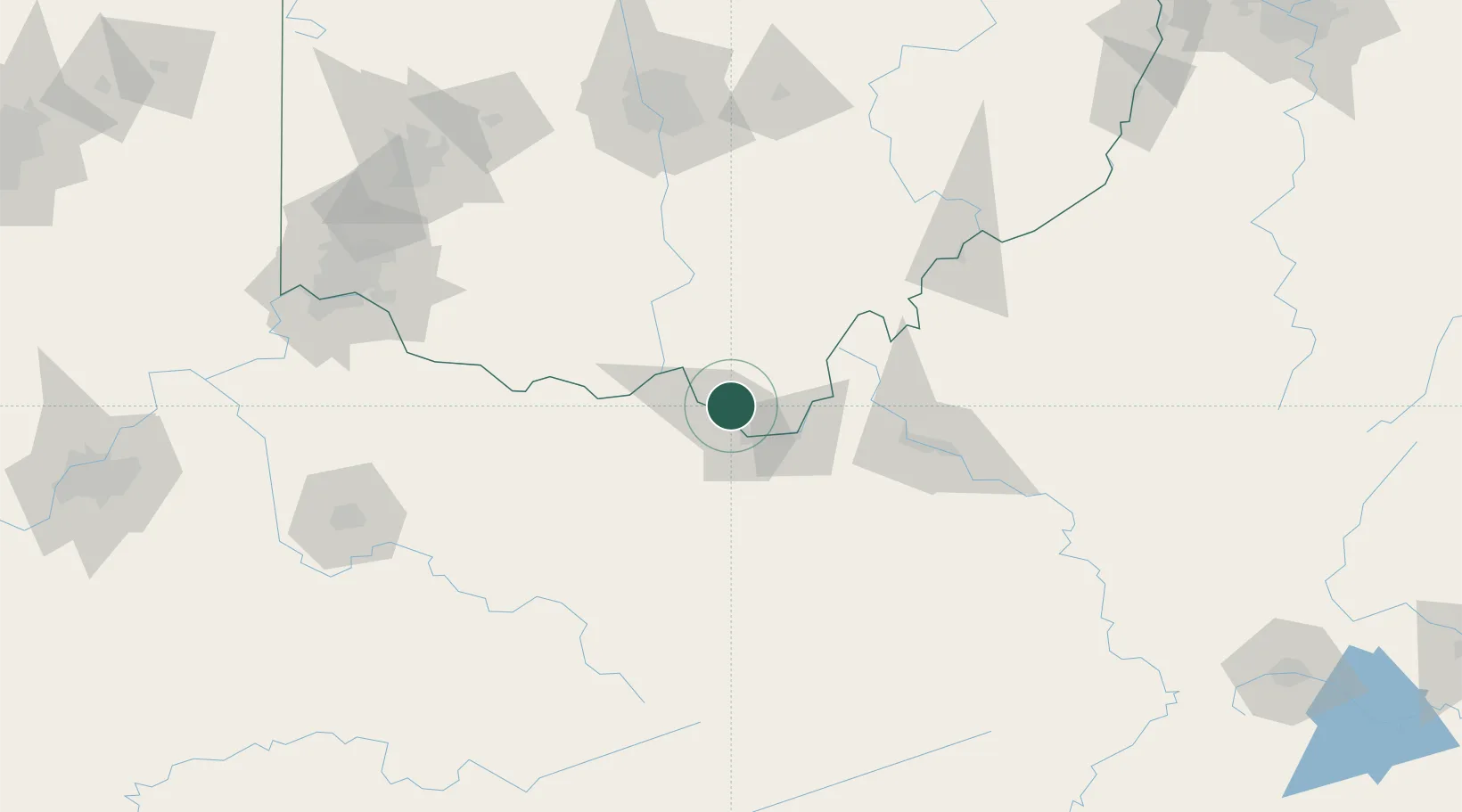
Hub Profile
Place type
Populated place
Region
Ohio
Time zone
America/New_York
Elevation
177 m
Location
Nearby Logistics Neighbours
Cities
- 1Wurtland9 km
- 2Greenup13 km
- 3Franklin Furnace16 km
- 4Ceredo23 km
- 5Melissa37 km
Ports
- 1Huron315 km
- 2Vermilion320 km
- 3Sandusky321 km
- 4Lorain325 km
- 5Port Clinton329 km
Airports
- 1Tri-State Airport / Milton J. Ferguson Field24 km
- 2Yeager Airport96 km
- 3Julian Carroll Airport122 km
- 4Wilmington Airpark137 km
- 5Mid Ohio Valley Regional Airport137 km
Trade Zones
- 1FTZ No. 229 Charleston87 km
- 2FTZ No. 054 Clinton County136 km
- 3FTZ No. 138 Franklin County141 km
- 4FTZ No. 046 CIncinnati171 km
- 5FTZ No. 100 Dayton195 km
DatabookThe Record of Consolidated Knowledge
United States beyond logistics?