UN/LOCODE hub · United States
USWUR
Wurtland
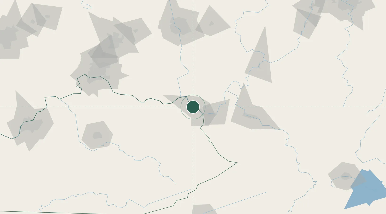
38.5500°, -82.7667°
1,043
Population
3
Transport functions
Transport Functions
Port
Road
Multimodal
Hub Profile
Place type
Populated place
Region
Kentucky
Population
1,043
Time zone
America/New_York
Elevation
168 m
Location
Nearby Logistics Neighbours
Cities
- 1Greenup5 km
- 2Lagrange9 km
- 3Franklin Furnace11 km
- 4Ceredo26 km
- 5West Portsmouth31 km
Ports
- 1Huron317 km
- 2Vermilion322 km
- 3Sandusky323 km
- 4Lorain328 km
- 5Port Clinton330 km
Airports
- 1Tri-State Airport / Milton J. Ferguson Field27 km
- 2Yeager Airport104 km
- 3Julian Carroll Airport117 km
- 4Wilmington Airpark132 km
- 5Rickenbacker International Airport141 km
Trade Zones
- 1FTZ No. 229 Charleston95 km
- 2FTZ No. 054 Clinton County132 km
- 3FTZ No. 138 Franklin County142 km
- 4FTZ No. 046 CIncinnati163 km
- 5FTZ No. 047 Boone County190 km
DatabookThe Record of Consolidated Knowledge
United States beyond logistics?