Transport Functions
Multimodal
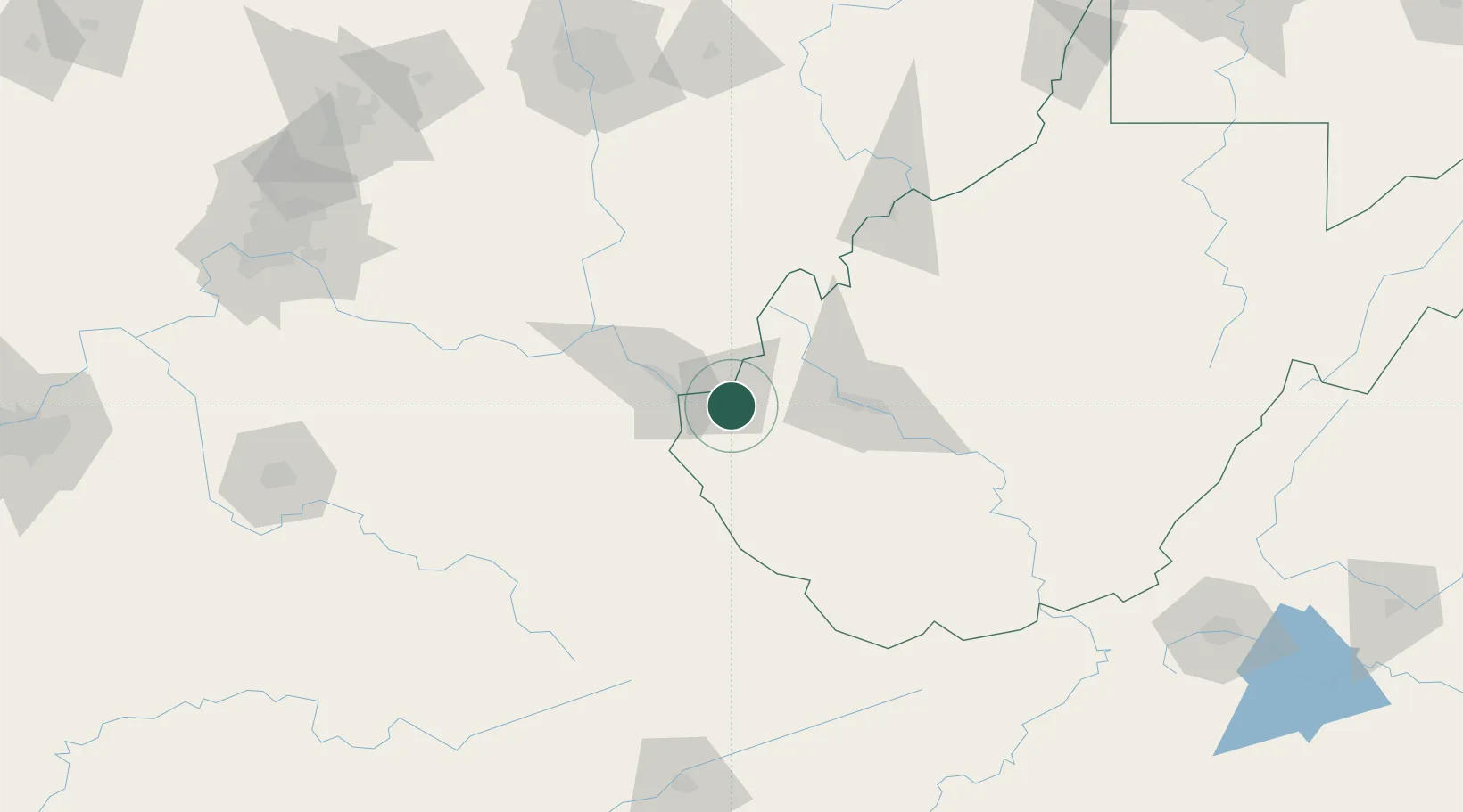
Hub Profile
Place type
Populated place
Region
West Virginia
Time zone
America/New_York
Elevation
176 m
Location
Nearby Logistics Neighbours
Airports
Trade Zones
- 1FTZ No. 229 Charleston54 km
- 2FTZ No. 138 Franklin County170 km
- 3FTZ No. 054 Clinton County173 km
- 4FTZ No. 238 Dublin201 km
- 5FTZ No. 046 CIncinnati206 km
DatabookThe Record of Consolidated Knowledge
United States beyond logistics?