Transport Functions
Port
Road
Hub Profile
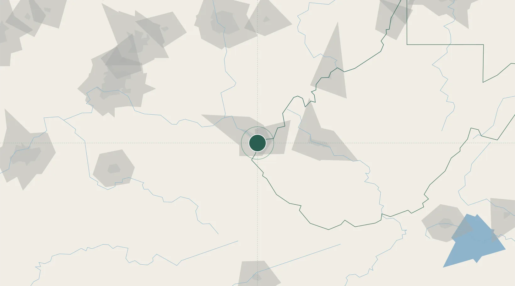
Place type
Populated place
Region
West Virginia
Population
1,388
Time zone
America/New_York
Elevation
168 m
Location
Nearby Logistics Neighbours
Ports
- 1Huron335 km
- 2Vermilion340 km
- 3Sandusky341 km
- 4Lorain344 km
- 5Port Clinton350 km
Airports
Trade Zones
- 1FTZ No. 229 Charleston73 km
- 2FTZ No. 054 Clinton County158 km
- 3FTZ No. 138 Franklin County163 km
- 4FTZ No. 046 CIncinnati188 km
- 5FTZ No. 204 Tri-Cities212 km
DatabookThe Record of Consolidated Knowledge
United States beyond logistics?