UN/LOCODE hub · United States
USFAU
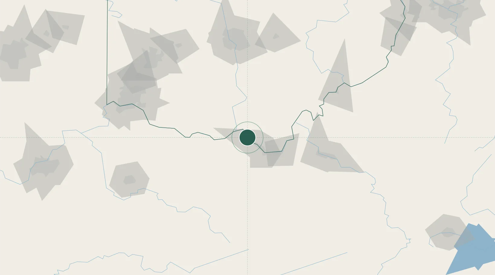
Franklin Furnace
38.6333°, -82.8333°
1,660
Population
4
Transport functions
Transport Functions
Port
Rail
Road
Multimodal
Hub Profile
Place type
Populated place
Region
Ohio
Population
1,660
Time zone
America/New_York
Elevation
175 m
Location
Nearby Logistics Neighbours
Cities
- 1Greenup8 km
- 2Wurtland11 km
- 3Lagrange16 km
- 4West Portsmouth21 km
- 5Ceredo37 km
Ports
- 1Huron309 km
- 2Sandusky313 km
- 3Vermilion314 km
- 4Lorain320 km
- 5Port Clinton321 km
Airports
- 1Tri-State Airport / Milton J. Ferguson Field38 km
- 2Yeager Airport112 km
- 3Wilmington Airpark121 km
- 4Julian Carroll Airport123 km
- 5Rickenbacker International Airport132 km
Trade Zones
- 1FTZ No. 229 Charleston103 km
- 2FTZ No. 054 Clinton County121 km
- 3FTZ No. 138 Franklin County132 km
- 4FTZ No. 046 CIncinnati155 km
- 5FTZ No. 100 Dayton180 km
DatabookThe Record of Consolidated Knowledge
United States beyond logistics?