UN/LOCODE hub · United States
USZNE
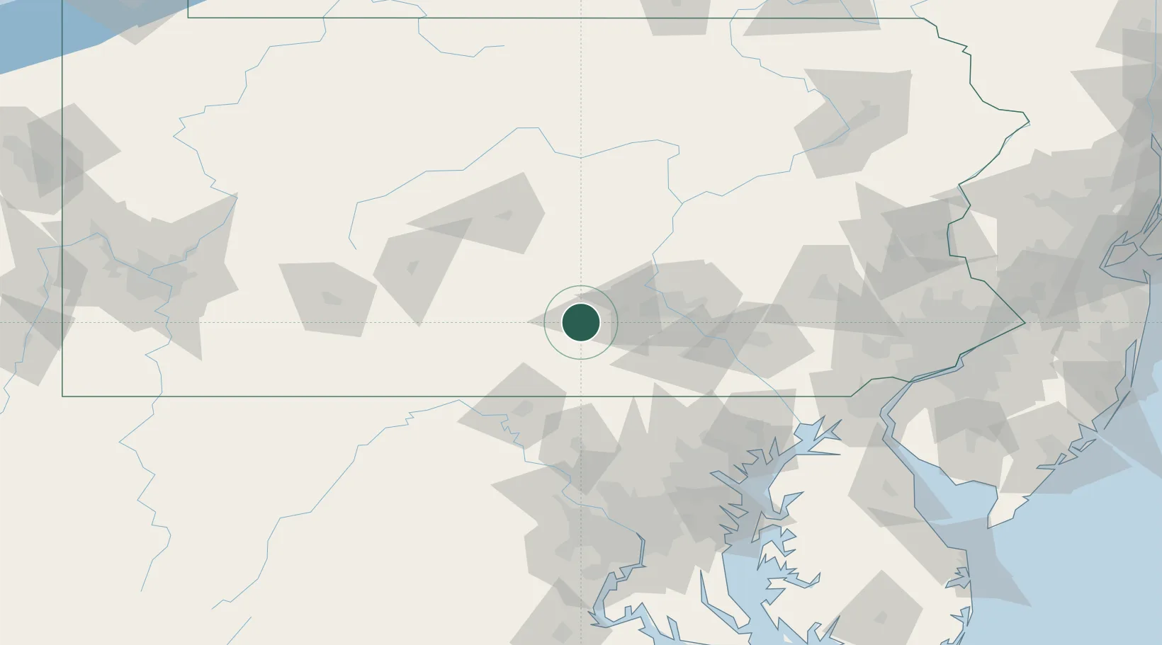
Newville
40.1667°, -77.4000°
1,331
Population
2
Transport functions
Transport Functions
Road
Multimodal
Hub Profile
Place type
Populated place
Region
Pennsylvania
Population
1,331
Time zone
America/New_York
Elevation
158 m
Location
Nearby Logistics Neighbours
Cities
- 1Mount Holly Springs19 km
- 2Orrstown21 km
- 3Shermans Dale25 km
- 4Dillsburg32 km
- 5Newport, Perry41 km
Ports
- 1Baltimore122 km
- 2Havre De Grace133 km
- 3Washington D.C.148 km
- 4Annapolis153 km
- 5Alexandria155 km
Airports
Trade Zones
DatabookThe Record of Consolidated Knowledge
United States beyond logistics?