UN/LOCODE hub · United States
USDMG
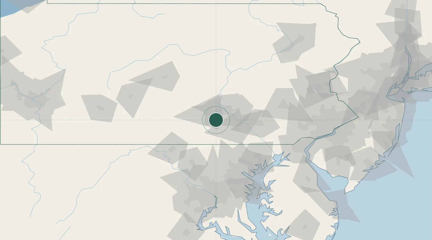
Dillsburg
40.1167°, -77.0333°
2,569
Population
2
Transport functions
Transport Functions
Road
Multimodal
Hub Profile
Place type
Populated place
Region
Pennsylvania
Population
2,569
Time zone
America/New_York
Elevation
173 m
Location
Nearby Logistics Neighbours
Cities
- 1Mount Holly Springs13 km
- 2Dover20 km
- 3Steelton21 km
- 4Highspire23 km
- 5Swatara25 km
Ports
- 1Baltimore102 km
- 2Havre De Grace104 km
- 3Wilmington134 km
- 4Annapolis135 km
- 5New Castle136 km
Airports
Trade Zones
DatabookThe Record of Consolidated Knowledge
United States beyond logistics?