UN/LOCODE hub · United States
USQHS
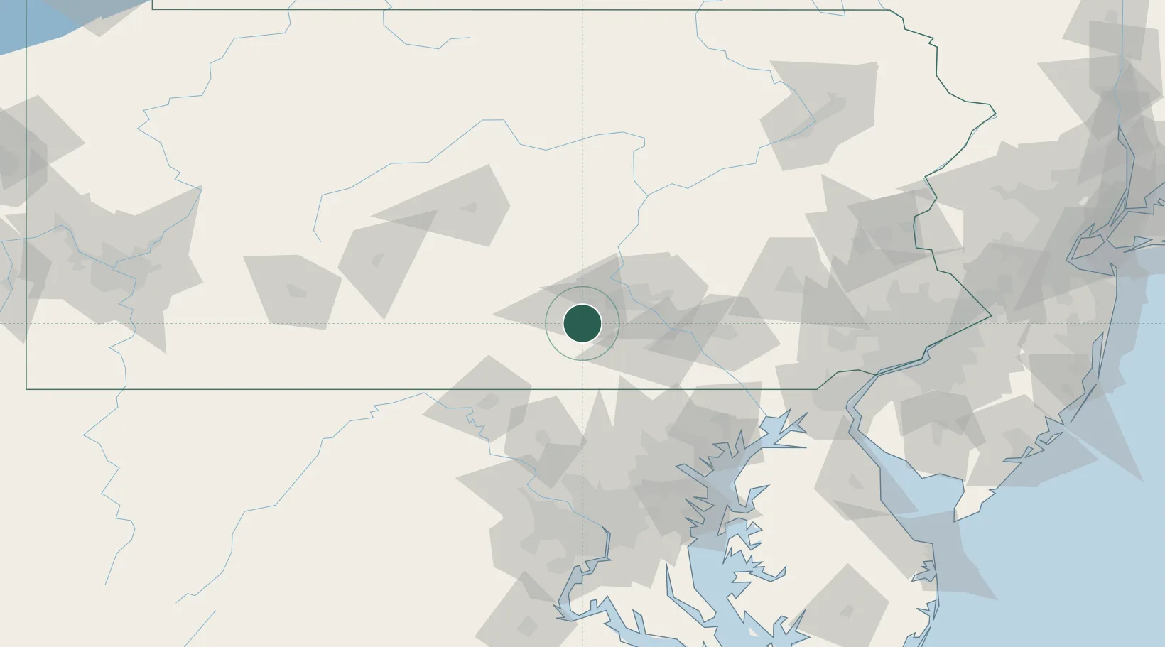
Mount Holly Springs
40.1167°, -77.1833°
2,037
Population
4
Transport functions
Transport Functions
Port
Rail
Road
Multimodal
Hub Profile
Place type
Populated place
Region
Pennsylvania
Population
2,037
Time zone
America/New_York
Elevation
168 m
Location
Nearby Logistics Neighbours
Cities
- 1Dillsburg13 km
- 2Newville19 km
- 3Shermans Dale22 km
- 4Abbottstown31 km
- 5Dover31 km
Ports
- 1Baltimore108 km
- 2Havre De Grace114 km
- 3Annapolis140 km
- 4Washington D.C.140 km
- 5Wilmington146 km
Airports
Trade Zones
DatabookThe Record of Consolidated Knowledge
United States beyond logistics?