UN/LOCODE hub · United States
USNRP

Newport, Perry

40.4667°, -77.1167°
4
Transport functions

Transport Functions

Port
Rail
Road
Multimodal
UN/LOCODE

Hub Profile

Region
PA
GeoNames

Location

Location of USNRP
Natural Earth 10m (public domain) · PA · USNRP · 40.47, -77.12GoogleOSMYandex

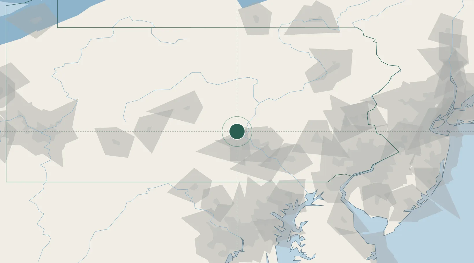
Nearby Logistics Neighbours

Cities
  1. 1Millersburg16 km
  2. 2Halifax17 km
  3. 3Shermans Dale18 km
  4. 4Dauphin20 km
  5. 5Mifflintown25 km
Nearest neighbours — logibook spatial index (haversine) over the source coordinates
Ports
  1. 1Havre De Grace136 km
  2. 2Baltimore141 km
  3. 3Wilmington156 km
  4. 4New Castle160 km
  5. 5Deepwater Point161 km
Nearest neighbours — logibook spatial index (haversine) over the source coordinates
Airports
  1. 1Harrisburg International Airport43 km
  2. 2Muir Army Air Field (Fort Indiantown Gap) Airport47 km
  3. 3State College Regional Airport75 km
  4. 4Lancaster Airport80 km
  5. 5Williamsport Regional Airport88 km
Nearest neighbours — logibook spatial index (haversine) over the source coordinates
Trade Zones
  1. 1FTZ No. 147 Berks County72 km
  2. 2FTZ No. 272 Counties of Lehigh and Northampton118 km
  3. 3FTZ No. 240 Martinsburg135 km
  4. 4FTZ No. 074 Baltimore140 km
  5. 5FTZ No. 024 Pittston146 km
Nearest neighbours — logibook spatial index (haversine) over the source coordinates
DatabookThe Record of Consolidated Knowledge
United States beyond logistics?
Browse databook

All Sources

LocationsUN/LOCODE
UN/LOCODE — free
Portsthe NGA World Port Index
Public domain (US gov)
AirportsOurAirports
Public domain
Trade Zonesthe World Bank SEZ database
CC BY 4.0
Trade ZonesOpen Zone Map
CC BY
← United States locations