Transport Functions
Rail
Road
Hub Profile
Place type
Populated place
Region
Pennsylvania
Time zone
America/New_York
Elevation
143 m
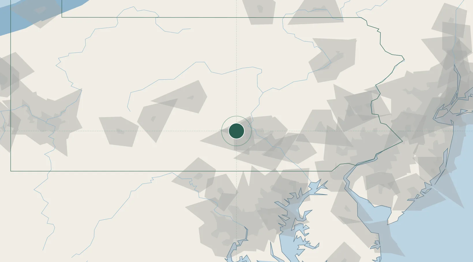
Location
Nearby Logistics Neighbours
Cities
- 1Newport, Perry18 km
- 2Mount Holly Springs22 km
- 3Dauphin23 km
- 4Newville25 km
- 5Dillsburg26 km
Ports
- 1Baltimore128 km
- 2Havre De Grace128 km
- 3Wilmington154 km
- 4New Castle156 km
- 5Deepwater Point158 km
Airports
Trade Zones
DatabookThe Record of Consolidated Knowledge
United States beyond logistics?