Medium airport · United States
State College Regional AirportKUNV
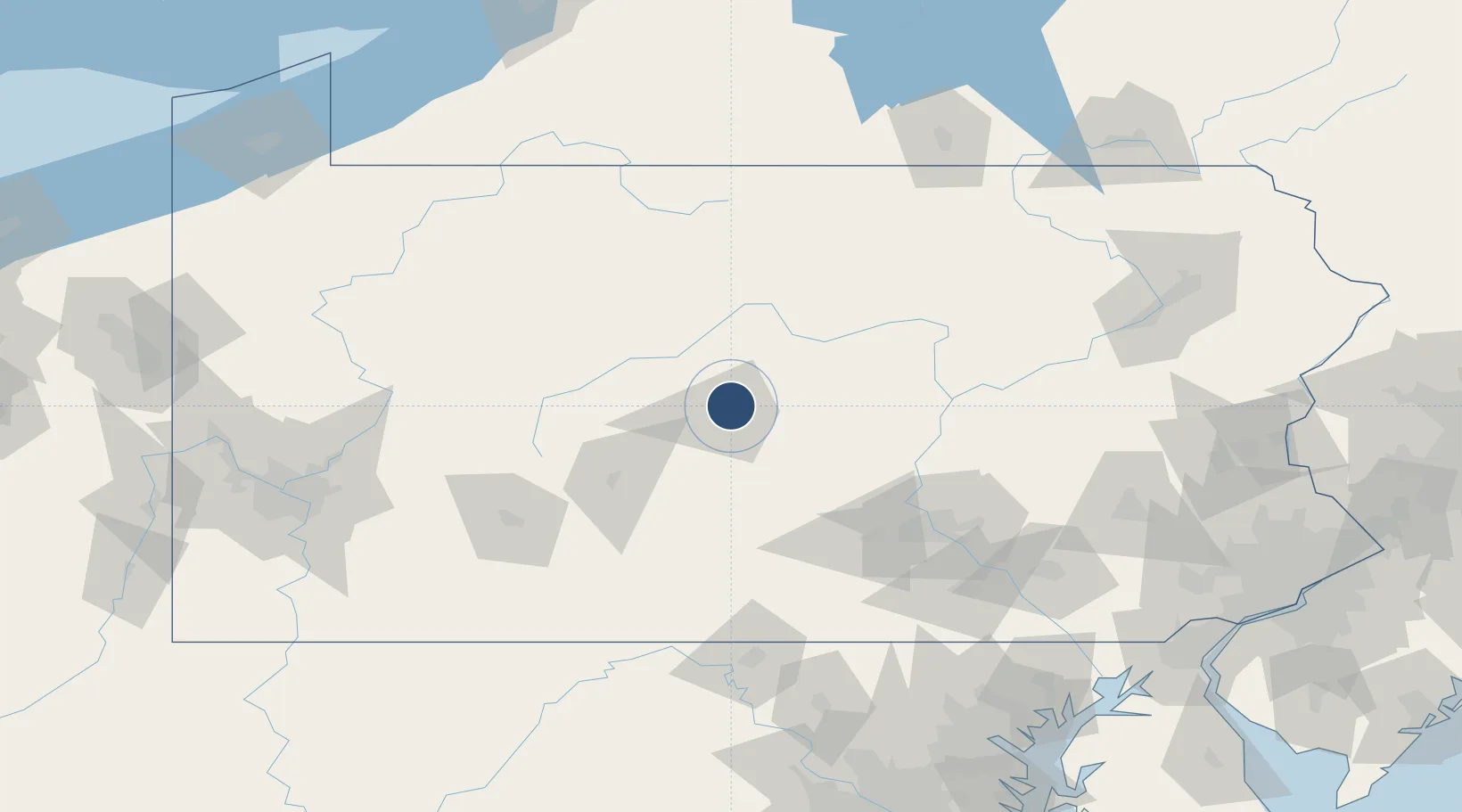
40.8494°, -77.8485°
6,701 ft
Longest runway
1
Runways
1,239 ft
Elevation
Runway & Layout

Radio Frequencies
AWOS
127.65 MHz
AWOS 3
CLD
118.55 MHz
CLNC DEL
CNTR
134.8 MHz
NEW YORK CNTR
RDO
122.5 MHz
ALTOONA RDO
UNIC
122.8 MHz
CTAF/UNICOM
Runways · 1
| Runway | Dimensions | Surface | True heading | Lit |
|---|---|---|---|---|
| 06/24 | 6,701 × 150ft | Asphalt | 053° | ✓ |
Airport Specifications
IATA code
SCE
ICAO code
KUNV
Airport class
Medium airport
Scheduled service
Yes
Runway surface
Asphalt
Served city
State College
Location
Nearby Logistics Neighbours
Airports
Cities
- 1Pleasant Gap9 km
- 2Centre Hall14 km
- 3Clarence22 km
- 4Winburne27 km
- 5Beech Creek34 km
Ports
- 1Baltimore206 km
- 2Havre De Grace210 km
- 3Dunkirk220 km
- 4Wilmington231 km
- 5Washington D.C.231 km
Trade Zones
DatabookThe Record of Consolidated Knowledge
United States beyond logistics?