Transport Functions
Road
Multimodal
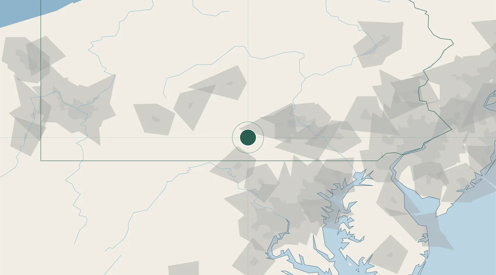
Hub Profile
Place type
Populated place
Region
Pennsylvania
Population
265
Time zone
America/New_York
Elevation
209 m
Location
Nearby Logistics Neighbours
Cities
- 1Newville21 km
- 2Saint Thomas22 km
- 3Shady Grove30 km
- 4Lemasters31 km
- 5Shirleysburg36 km
Ports
- 1Baltimore123 km
- 2Washington D.C.140 km
- 3Havre De Grace142 km
- 4Alexandria147 km
- 5Annapolis153 km
Airports
Trade Zones
DatabookThe Record of Consolidated Knowledge
United States beyond logistics?