Transport Functions
Rail
Road
Hub Profile
Place type
Populated place
Region
California
Time zone
America/Los_Angeles
Elevation
1,282 m
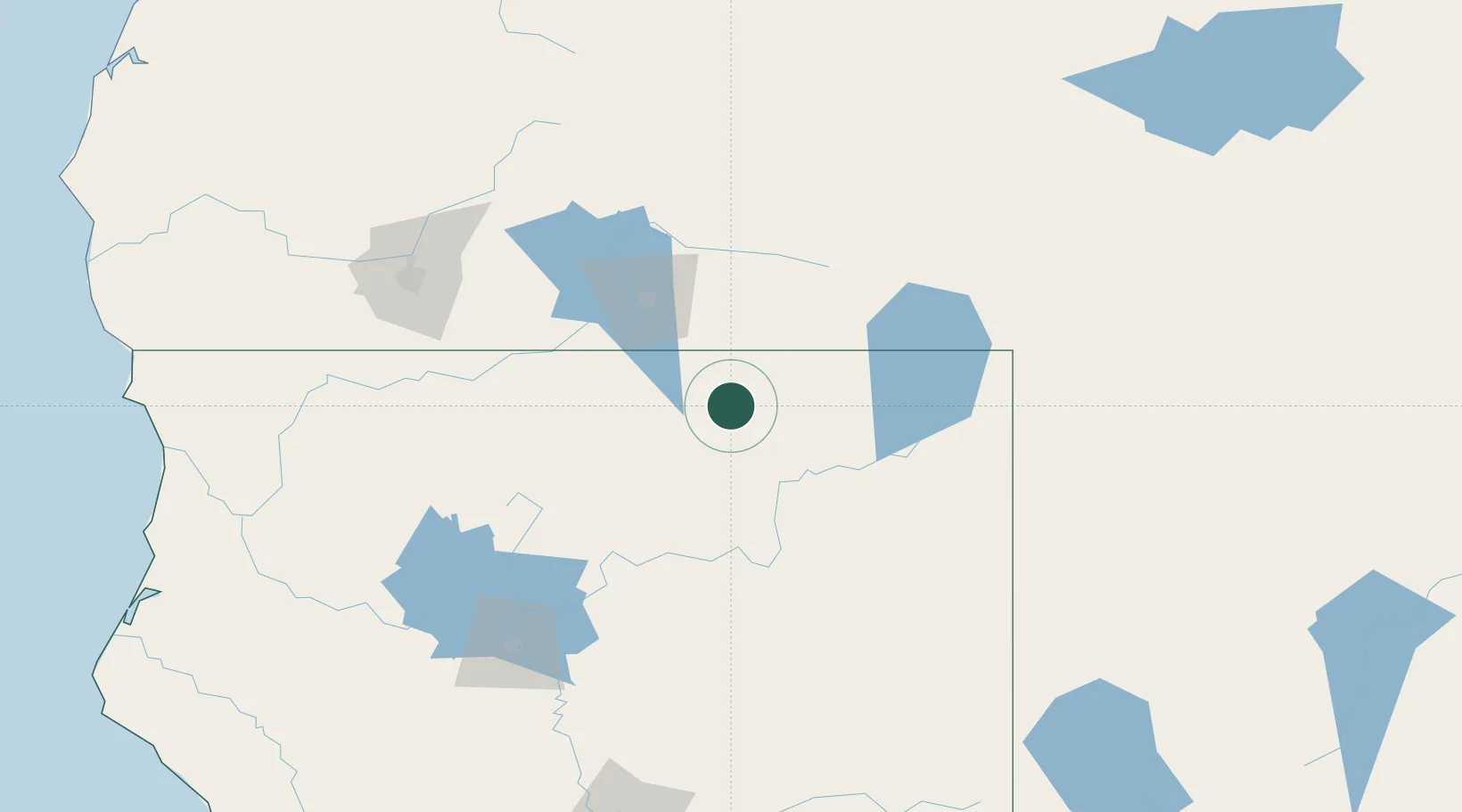
Location
Nearby Logistics Neighbours
Cities
- 1Canby52 km
- 2Alturas73 km
- 3Weed92 km
- 4Fort Klamath120 km
- 5Lakeshore128 km
Ports
- 1Fort Bragg328 km
- 2Sacramento351 km
- 3Courtland379 km
- 4Walnut Grove389 km
- 5Isleton397 km
Airports
Trade Zones
- 1FTZ No. 248 Eureka257 km
- 2FTZ No. 126 Sparks274 km
- 3FTZ No. 132 Coos County297 km
- 4FTZ No. 143 West Sacramento351 km
- 5FTZ No. 280 Ada and Canyon Counties402 km
DatabookThe Record of Consolidated Knowledge
United States beyond logistics?