Transport Functions
Multimodal
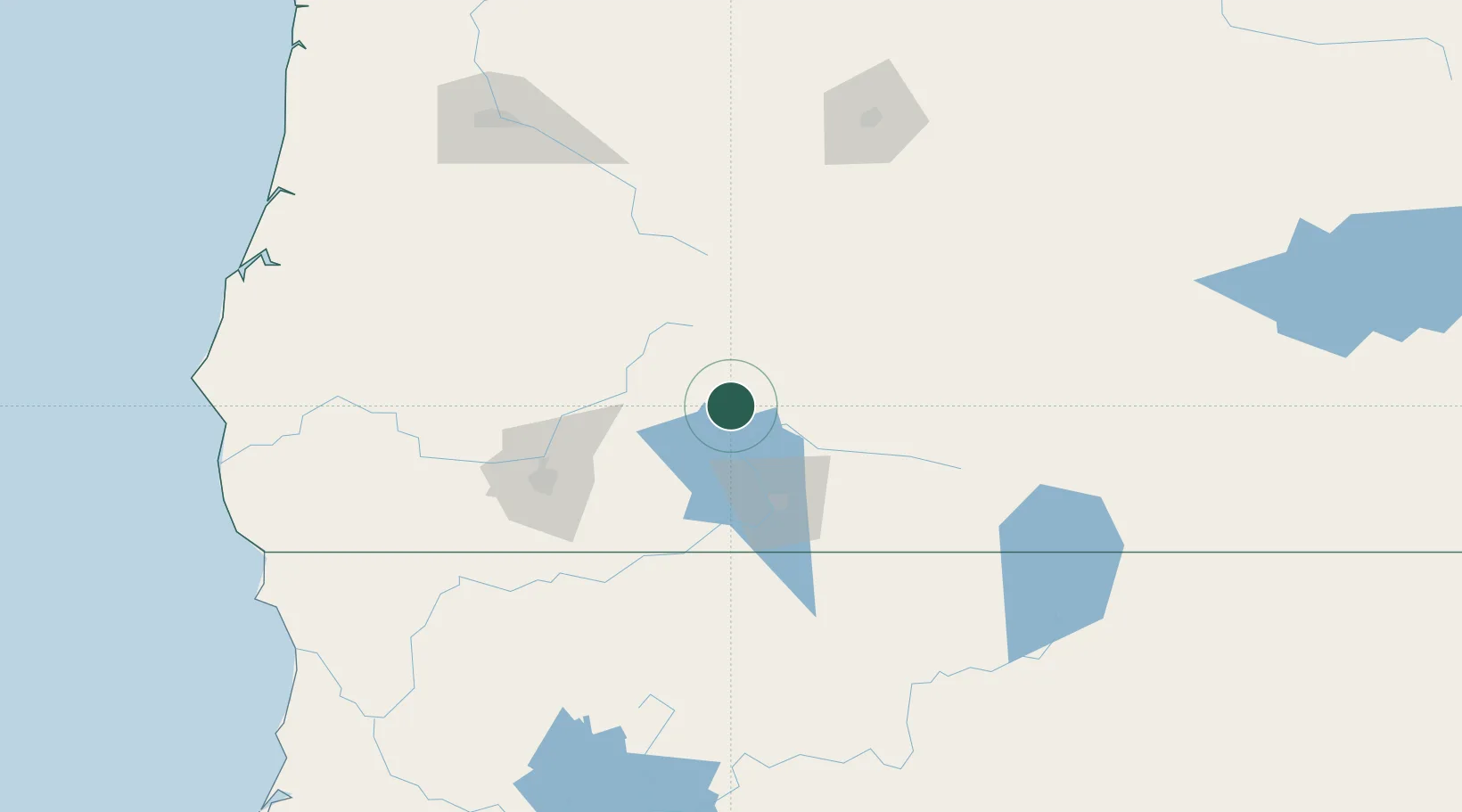
Hub Profile
Place type
Populated place
Region
Oregon
Time zone
America/Los_Angeles
Elevation
1,275 m
Location
Nearby Logistics Neighbours
Cities
- 1Phoenix81 km
- 2Talent84 km
- 3Central Point84 km
- 4Jacksonville91 km
- 5Gold Hill92 km
Ports
- 1Coos Bay196 km
- 2North Bend198 km
- 3Prosper200 km
- 4Bandon204 km
- 5Gardiner205 km
Airports
- 1Crater Lake-Klamath Regional Airport64 km
- 2Rogue Valley International-Medford Airport81 km
- 3Roberts Field185 km
- 4Eugene Airport187 km
- 5Corvallis Municipal Airport226 km
Trade Zones
- 1FTZ No. 132 Coos County196 km
- 2FTZ No. 248 Eureka278 km
- 3FTZ No. 045 Portland323 km
- 4FTZ No. 296 Vancouver332 km
- 5FTZ No. 255 Washington County336 km
DatabookThe Record of Consolidated Knowledge
United States beyond logistics?