UN/LOCODE hub · United States
USZIF
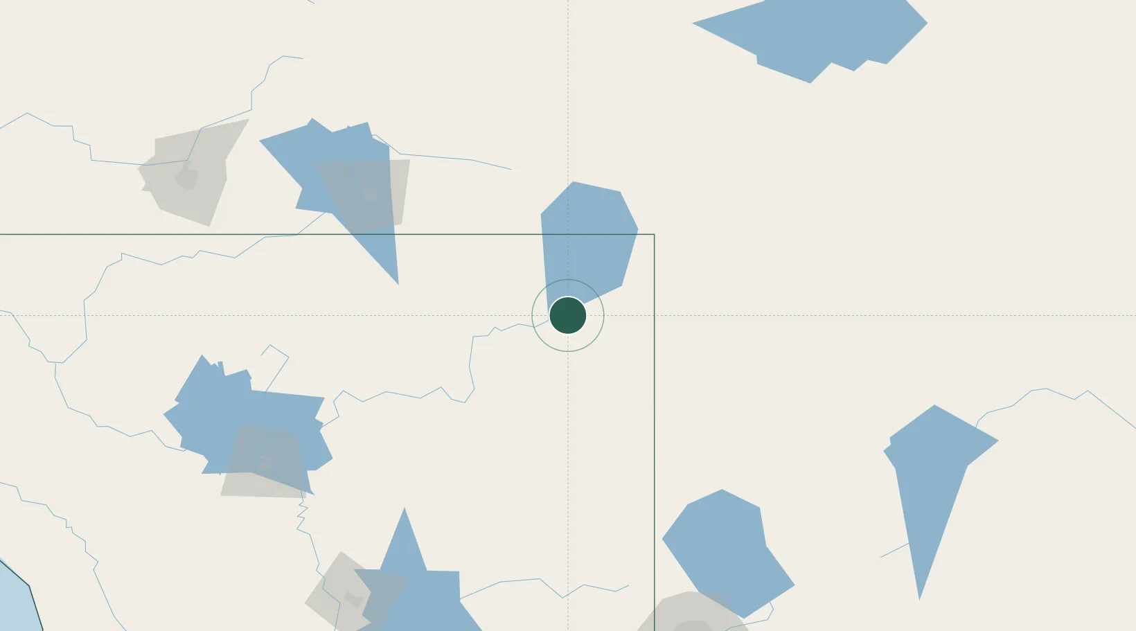
Alturas
41.5000°, -120.5333°
2,594
Population
2
Transport functions
Transport Functions
Rail
Road
Hub Profile
Place type
Provincial seat
Region
California
Population
2,594
Time zone
America/Los_Angeles
Elevation
1,332 m
Location
Nearby Logistics Neighbours
Cities
- 1Canby29 km
- 2Mammoth73 km
- 3Viola146 km
- 4Lake Almanor148 km
- 5Weed154 km
Ports
- 1Sacramento335 km
- 2Fort Bragg359 km
- 3Courtland363 km
- 4Walnut Grove373 km
- 5Isleton382 km
Airports
Trade Zones
- 1FTZ No. 126 Sparks223 km
- 2FTZ No. 248 Eureka313 km
- 3FTZ No. 143 West Sacramento335 km
- 4FTZ No. 280 Ada and Canyon Counties361 km
- 5FTZ No. 132 Coos County367 km
DatabookThe Record of Consolidated Knowledge
United States beyond logistics?