Transport Functions
Road
Multimodal
Hub Profile
Place type
Populated place
Region
Georgia
Time zone
America/New_York
Elevation
331 m
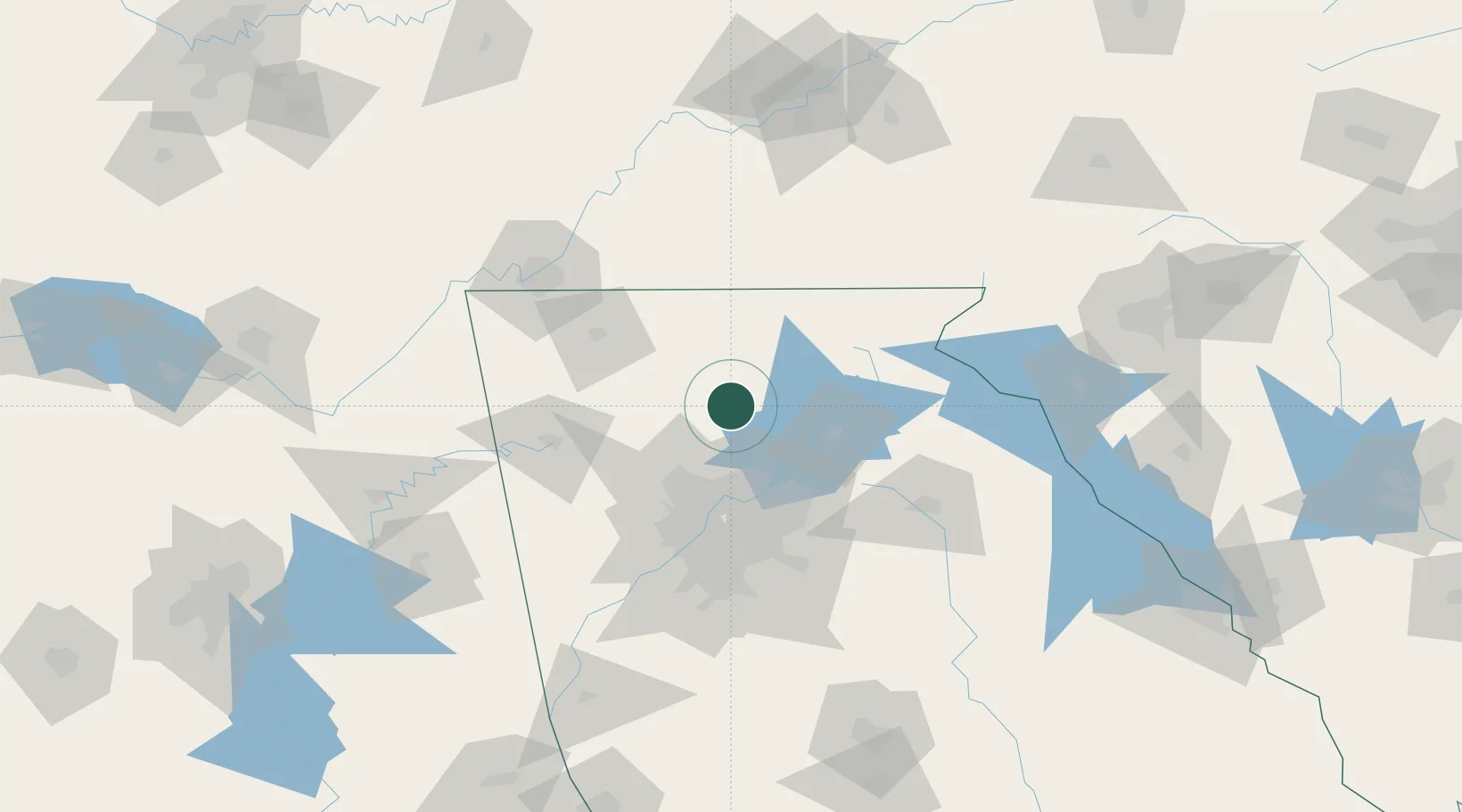
Location
Nearby Logistics Neighbours
Cities
- 1Jasper9 km
- 2Blaine22 km
- 3Fairmount34 km
- 4Blue Ridge46 km
- 5Johns Creek48 km
Ports
- 1Savannah400 km
- 2Beaufort406 km
- 3Port Royal409 km
- 4Darien435 km
- 5Brunswick451 km
Airports
Trade Zones
- 1FTZ No. 026 Atlanta75 km
- 2FTZ No. 134 Chattanooga121 km
- 3FTZ No. 148 Knoxville173 km
- 4FTZ No. 038 Spartanburg County197 km
- 5FTZ No. 083 Huntsville224 km
DatabookThe Record of Consolidated Knowledge
United States beyond logistics?