Transport Functions
Road
Multimodal
Hub Profile
Place type
Populated place
Region
Georgia
Time zone
America/New_York
Elevation
341 m
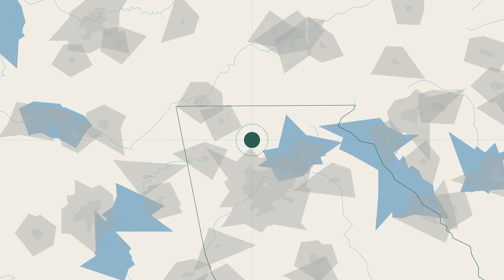
Location
Nearby Logistics Neighbours
Cities
- 1Jasper13 km
- 2Fairmount17 km
- 3Marble Hill22 km
- 4Sugar Valley41 km
- 5Blue Ridge43 km
Ports
- 1Savannah421 km
- 2Beaufort428 km
- 3Port Royal431 km
- 4Darien455 km
- 5Brunswick470 km
Airports
Trade Zones
- 1FTZ No. 026 Atlanta85 km
- 2FTZ No. 134 Chattanooga100 km
- 3FTZ No. 148 Knoxville166 km
- 4FTZ No. 083 Huntsville204 km
- 5FTZ No. 038 Spartanburg County214 km
DatabookThe Record of Consolidated Knowledge
United States beyond logistics?