UN/LOCODE hub · United States
USYBR
Blue Ridge
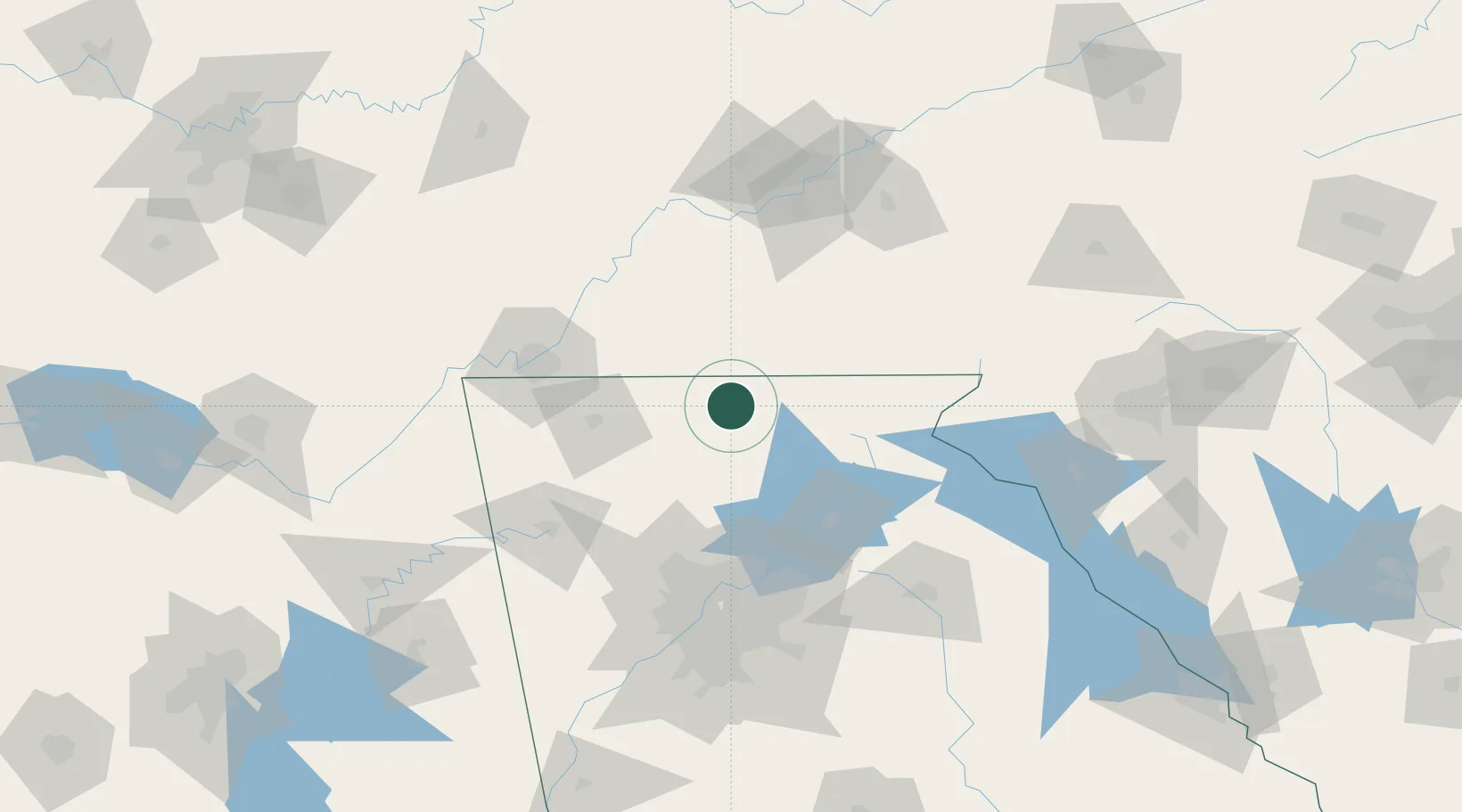
34.8500°, -84.3167°
1,286
Population
3
Transport functions
Transport Functions
Rail
Road
Multimodal
Hub Profile
Place type
Provincial seat
Region
Georgia
Population
1,286
Time zone
America/New_York
Elevation
537 m
Location
Nearby Logistics Neighbours
Cities
- 1Ducktown21 km
- 2Blairsville32 km
- 3Blairesville35 km
- 4Murphy37 km
- 5Eton40 km
Ports
- 1Savannah430 km
- 2Beaufort432 km
- 3Port Royal435 km
- 4Darien471 km
- 5Brunswick488 km
Airports
Trade Zones
- 1FTZ No. 134 Chattanooga101 km
- 2FTZ No. 026 Atlanta121 km
- 3FTZ No. 148 Knoxville127 km
- 4FTZ No. 038 Spartanburg County189 km
- 5FTZ No. 083 Huntsville225 km
DatabookThe Record of Consolidated Knowledge
United States beyond logistics?