Transport Functions
Port
Rail
Road
Multimodal
Hub Profile
Place type
Populated place
Region
Georgia
Population
736
Time zone
America/New_York
Elevation
227 m
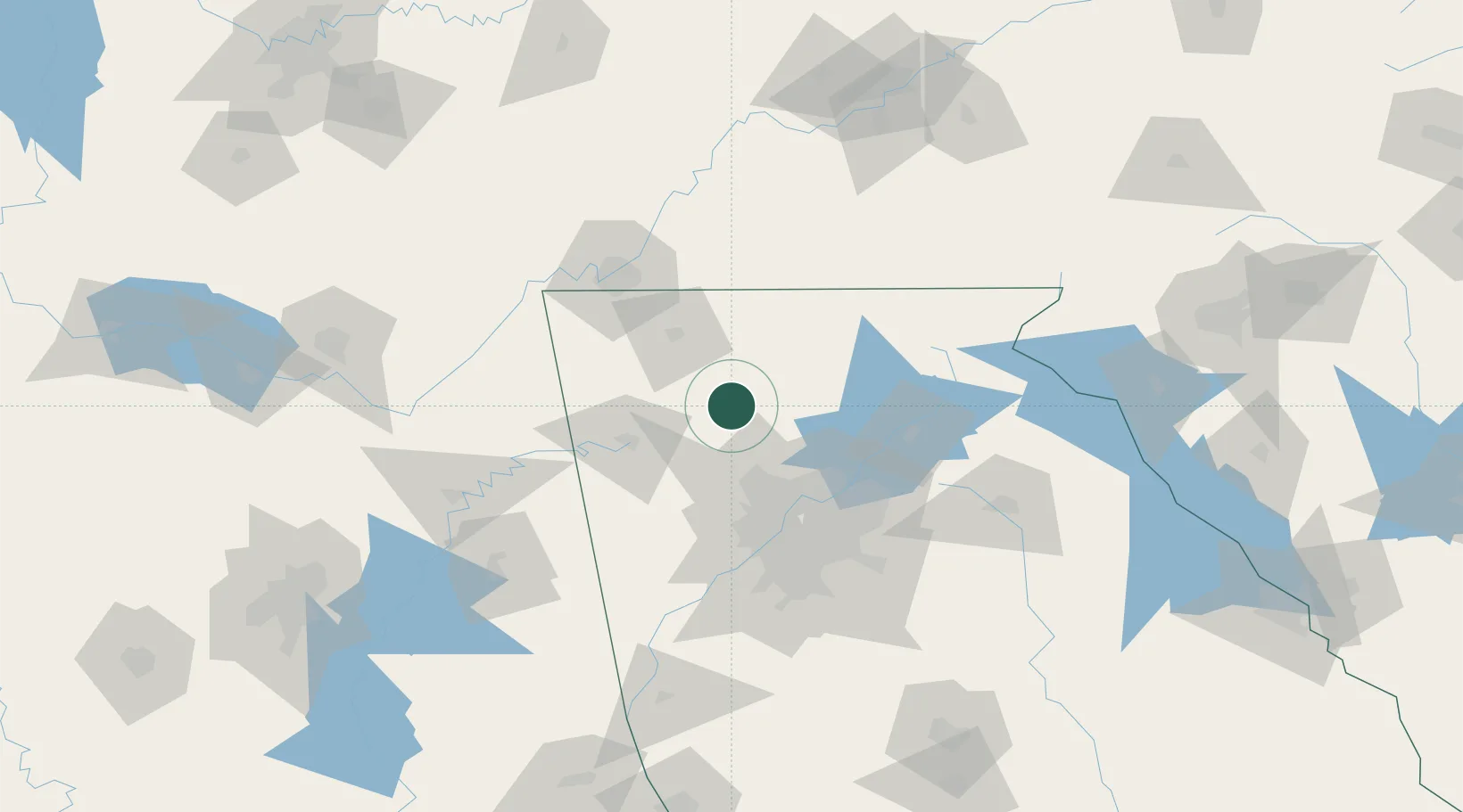
Location
Nearby Logistics Neighbours
Cities
- 1Blaine17 km
- 2Jasper26 km
- 3Sugar Valley30 km
- 4Marble Hill34 km
- 5Taylorsville47 km
Ports
- 1Savannah426 km
- 2Beaufort435 km
- 3Port Royal438 km
- 4Darien457 km
- 5Brunswick472 km
Airports
Trade Zones
- 1FTZ No. 026 Atlanta80 km
- 2FTZ No. 134 Chattanooga97 km
- 3FTZ No. 148 Knoxville178 km
- 4FTZ No. 083 Huntsville191 km
- 5FTZ No. 270 Lawrence County204 km
DatabookThe Record of Consolidated Knowledge
United States beyond logistics?