UN/LOCODE hub · United States
USJC2
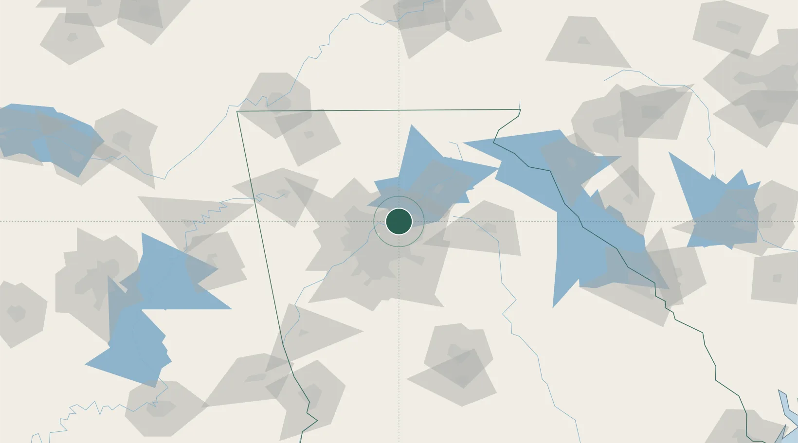
Johns Creek
34.0167°, -84.1833°
83,335
Population
1
Transport functions
Transport Functions
Multimodal
Hub Profile
Place type
Populated place
Region
Georgia
Population
83,335
Time zone
America/New_York
Elevation
286 m
Location
Nearby Logistics Neighbours
Cities
- 1Alabama City14 km
- 2Dunwoody16 km
- 3Gwinnett19 km
- 4Lexington20 km
- 5Sandy Springs20 km
Ports
- 1Savannah360 km
- 2Beaufort371 km
- 3Port Royal374 km
- 4Darien391 km
- 5Brunswick406 km
Airports
Trade Zones
- 1FTZ No. 026 Atlanta34 km
- 2FTZ No. 134 Chattanooga163 km
- 3FTZ No. 038 Spartanburg County202 km
- 4FTZ No. 148 Knoxville219 km
- 5FTZ No. 083 Huntsville247 km
DatabookThe Record of Consolidated Knowledge
United States beyond logistics?