Transport Functions
Rail
Road
Multimodal
Hub Profile
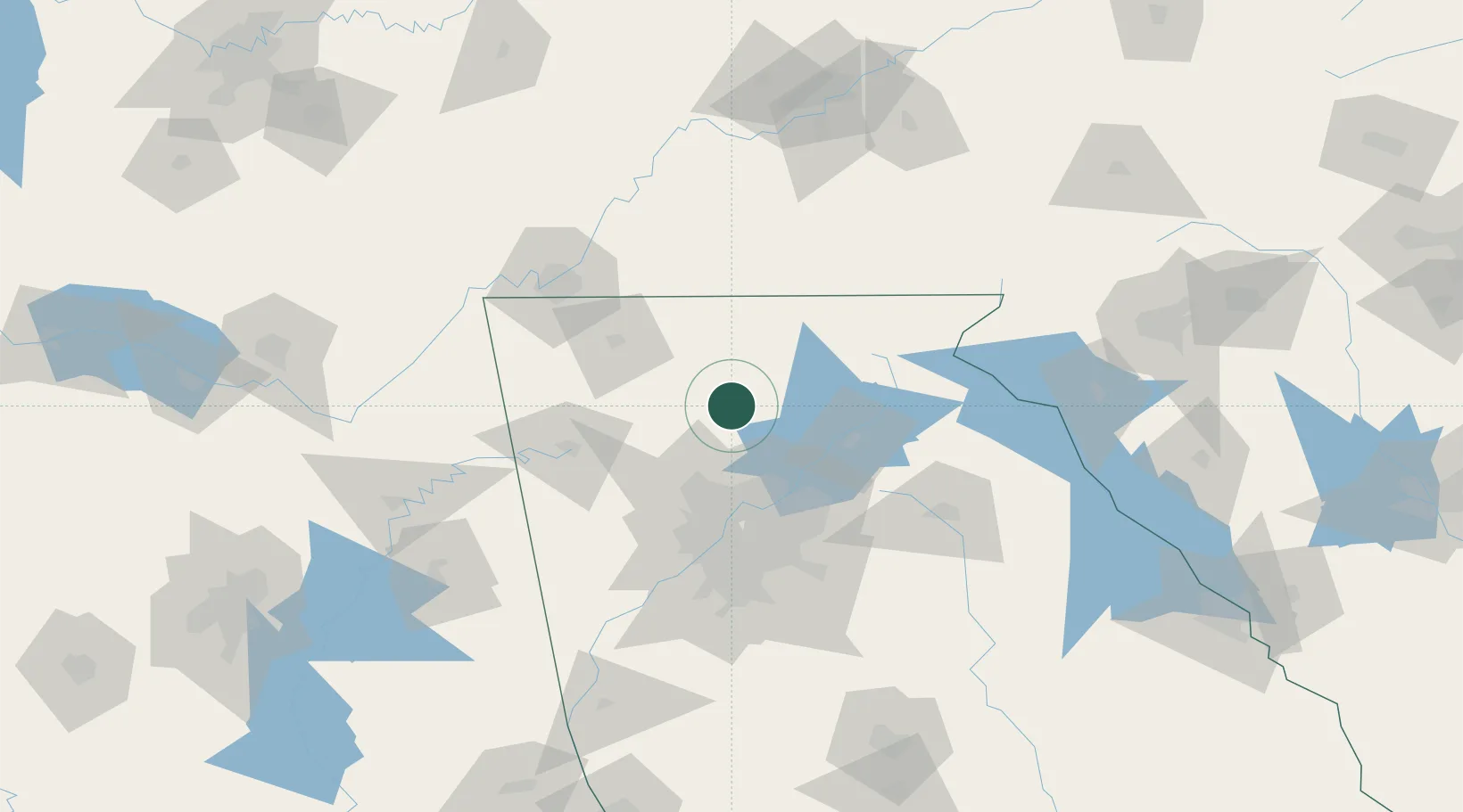
Place type
Provincial seat
Region
Georgia
Population
3,762
Time zone
America/New_York
Elevation
446 m
Location
Nearby Logistics Neighbours
Cities
- 1Marble Hill9 km
- 2Blaine13 km
- 3Fairmount26 km
- 4Blue Ridge44 km
- 5Sugar Valley54 km
Ports
- 1Savannah408 km
- 2Beaufort415 km
- 3Port Royal418 km
- 4Darien443 km
- 5Brunswick459 km
Airports
Trade Zones
- 1FTZ No. 026 Atlanta78 km
- 2FTZ No. 134 Chattanooga113 km
- 3FTZ No. 148 Knoxville170 km
- 4FTZ No. 038 Spartanburg County204 km
- 5FTZ No. 083 Huntsville216 km
DatabookThe Record of Consolidated Knowledge
United States beyond logistics?