UN/LOCODE hub · United States
USZJX
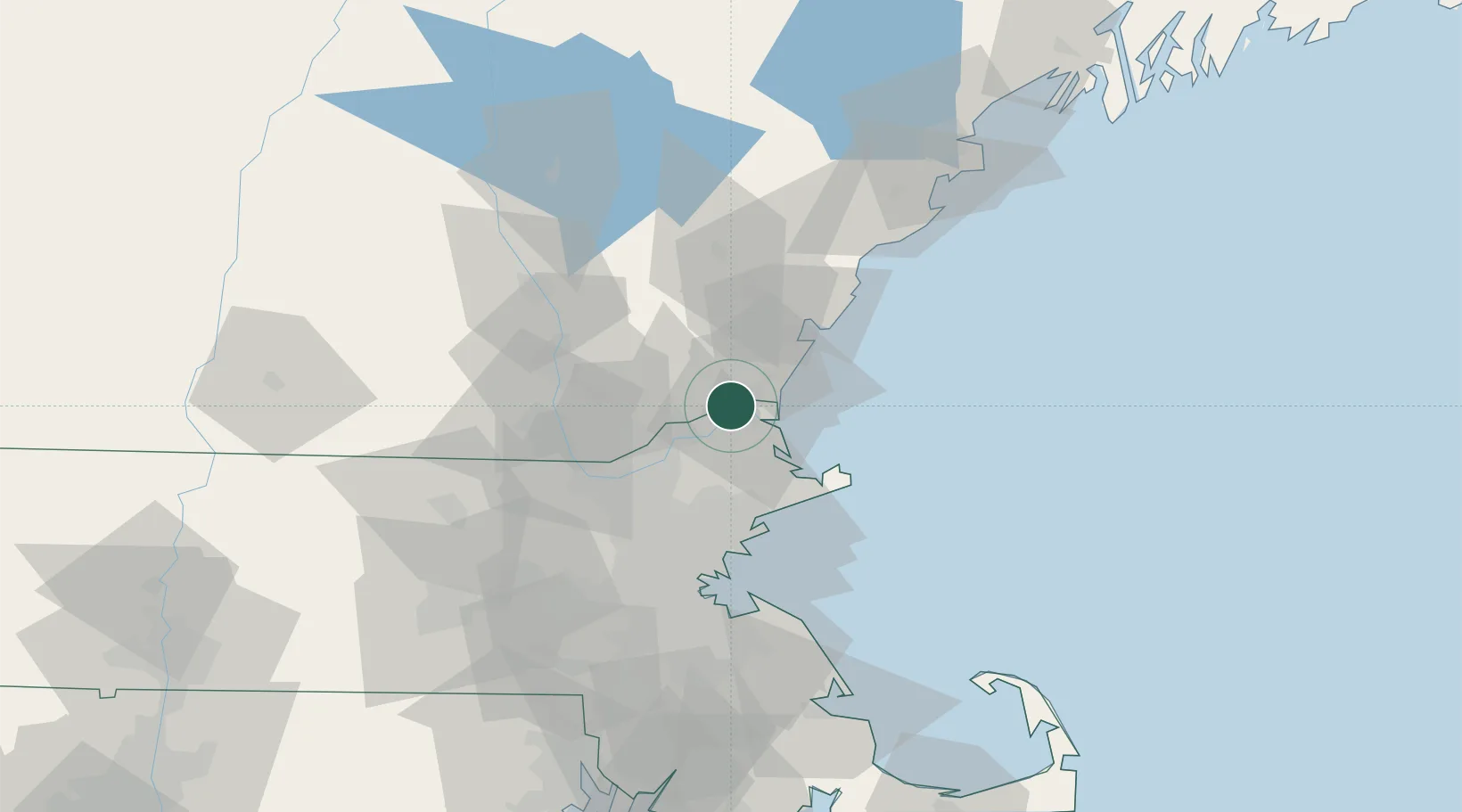
South Hampton
42.8667°, -70.9500°
899
Population
1
Transport functions
Transport Functions
Multimodal
Hub Profile
Place type
Populated place
Region
New Hampshire
Population
899
Time zone
America/New_York
Elevation
62 m
Location
Nearby Logistics Neighbours
Cities
- 1Newton7 km
- 2Newbury10 km
- 3Newburyport10 km
- 4North Hampton15 km
- 5Bradford16 km
Ports
- 1Newburyport9 km
- 2Portsmouth29 km
- 3Rockport35 km
- 4Beverly38 km
- 5Salem39 km
Airports
Trade Zones
- 1FTZ No. 081 Portsmouth23 km
- 2FTZ No. 027 Boston63 km
- 3FTZ No. 105 Providence and North Kingstown124 km
- 4FTZ No. 028 New Bedford134 km
- 5FTZ No. 268 Brattleboro135 km
DatabookThe Record of Consolidated Knowledge
United States beyond logistics?