Transport Functions
Rail
Road
Multimodal
Hub Profile
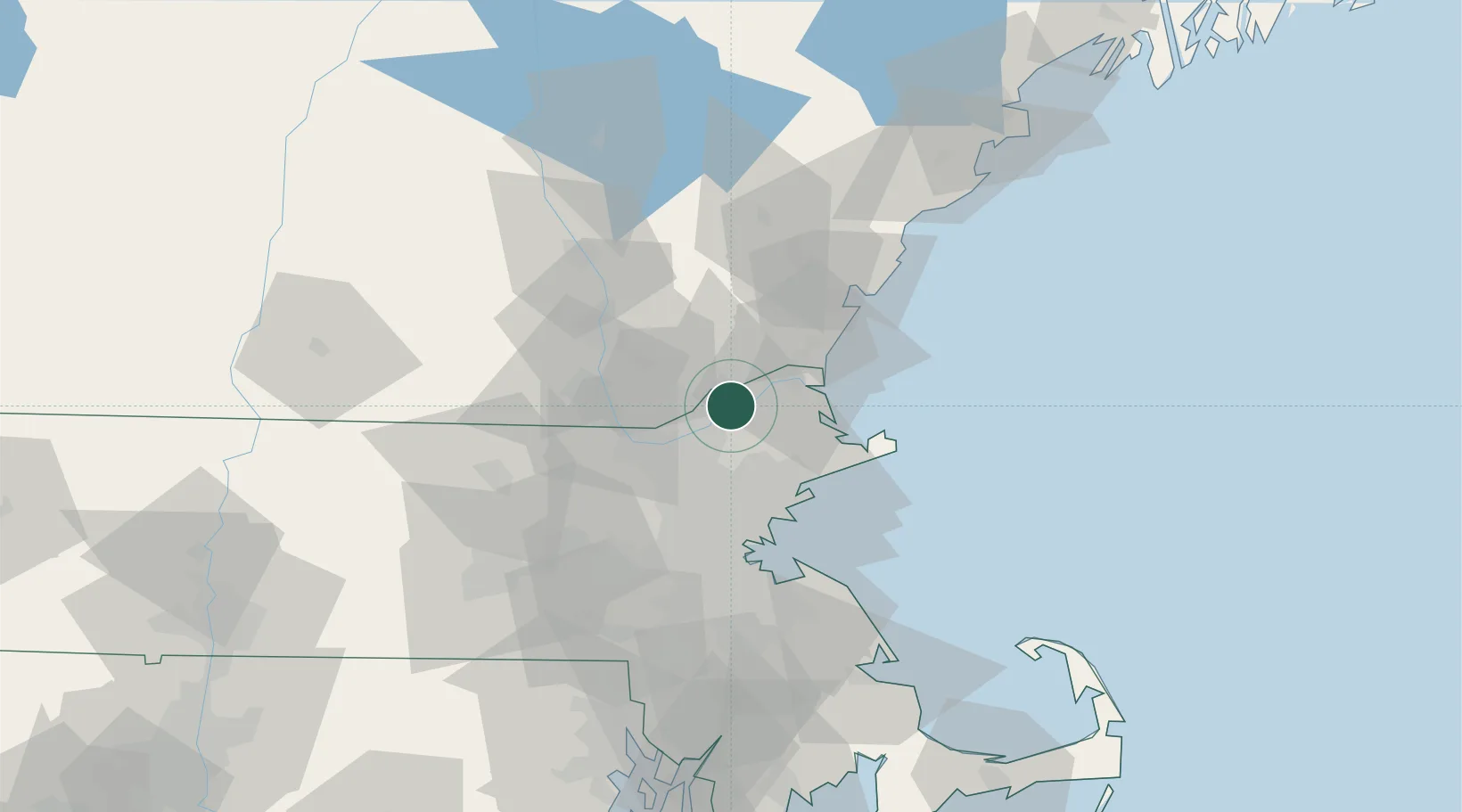
Place type
Populated place
Region
Massachusetts
Time zone
America/New_York
Elevation
15 m
Location
Nearby Logistics Neighbours
Cities
- 1Newton12 km
- 2South Hampton16 km
- 3Rowley17 km
- 4Newbury18 km
- 5Newburyport18 km
Ports
- 1Newburyport19 km
- 2Beverly31 km
- 3Salem32 km
- 4Marblehead35 km
- 5Lynn37 km
Airports
Trade Zones
- 1FTZ No. 081 Portsmouth38 km
- 2FTZ No. 027 Boston50 km
- 3FTZ No. 105 Providence and North Kingstown110 km
- 4FTZ No. 028 New Bedford123 km
- 5FTZ No. 268 Brattleboro124 km
DatabookThe Record of Consolidated Knowledge
United States beyond logistics?