UN/LOCODE hub · United States
USJNH
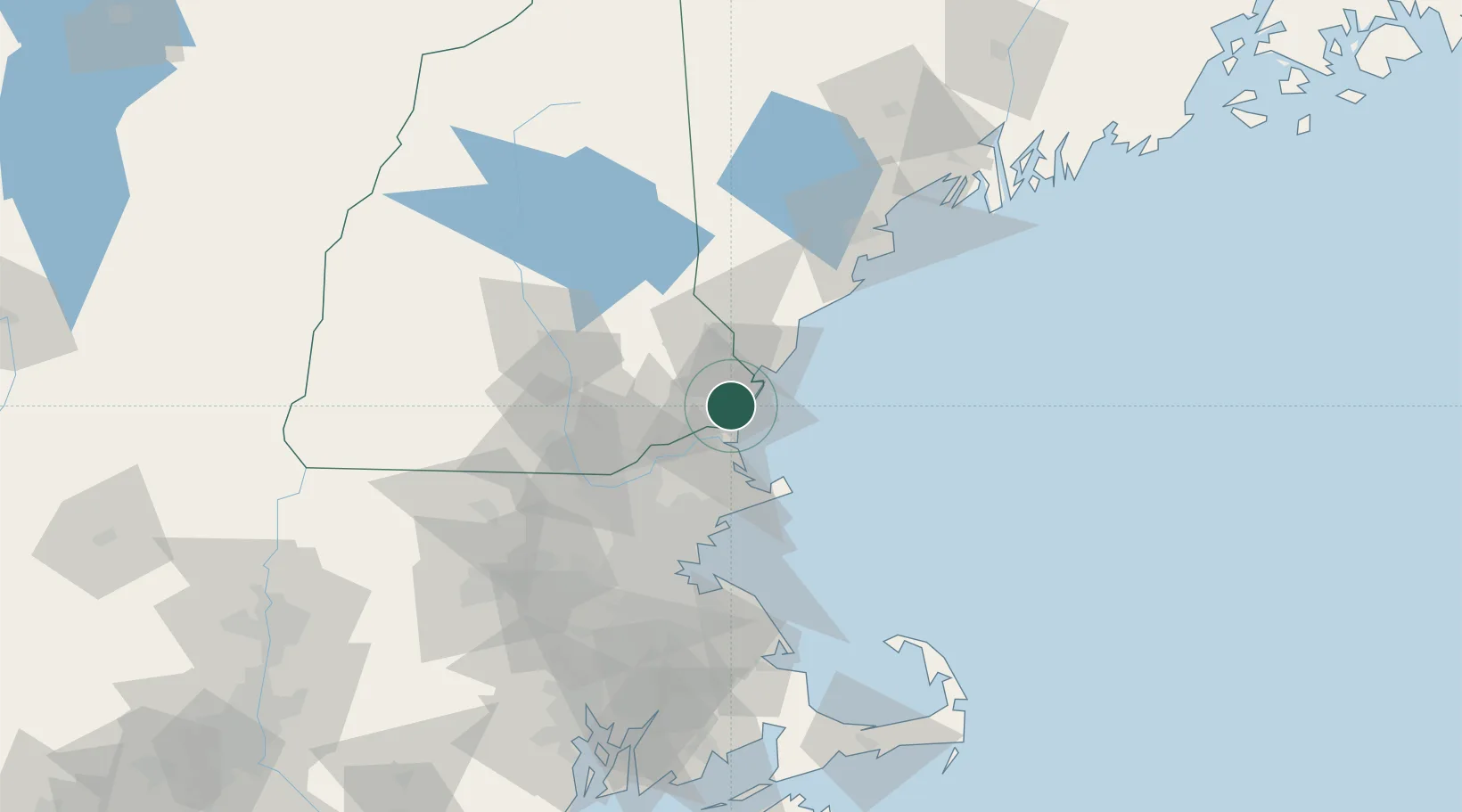
North Hampton
42.9667°, -70.8333°
4,721
Population
2
Transport functions
Transport Functions
Road
Multimodal
Hub Profile
Place type
Populated place
Region
New Hampshire
Population
4,721
Time zone
America/New_York
Elevation
25 m
Location
Nearby Logistics Neighbours
Cities
- 1Newfields11 km
- 2South Hampton15 km
- 3Newington15 km
- 4Kittery15 km
- 5Newbury19 km
Ports
- 1Portsmouth15 km
- 2Newburyport17 km
- 3Rockport38 km
- 4Beverly48 km
- 5Salem50 km
Airports
Trade Zones
- 1FTZ No. 081 Portsmouth10 km
- 2FTZ No. 027 Boston76 km
- 3FTZ No. 263 Auburn135 km
- 4FTZ No. 105 Providence and North Kingstown138 km
- 5FTZ No. 268 Brattleboro145 km
DatabookThe Record of Consolidated Knowledge
United States beyond logistics?