UN/LOCODE hub · United States
USZGK

Newbury

42.8000°, -70.8667°
1
Transport functions

Transport Functions

Multimodal
UN/LOCODE

Hub Profile

Place type
Populated place
GeoNames
Region
Massachusetts
GeoNames
Time zone
America/New_York
GeoNames
Elevation
11 m
GeoNames

Location

Location of USZGK
Natural Earth 10m (public domain) · Massachusetts · USZGK · 42.80, -70.87GoogleOSMYandex

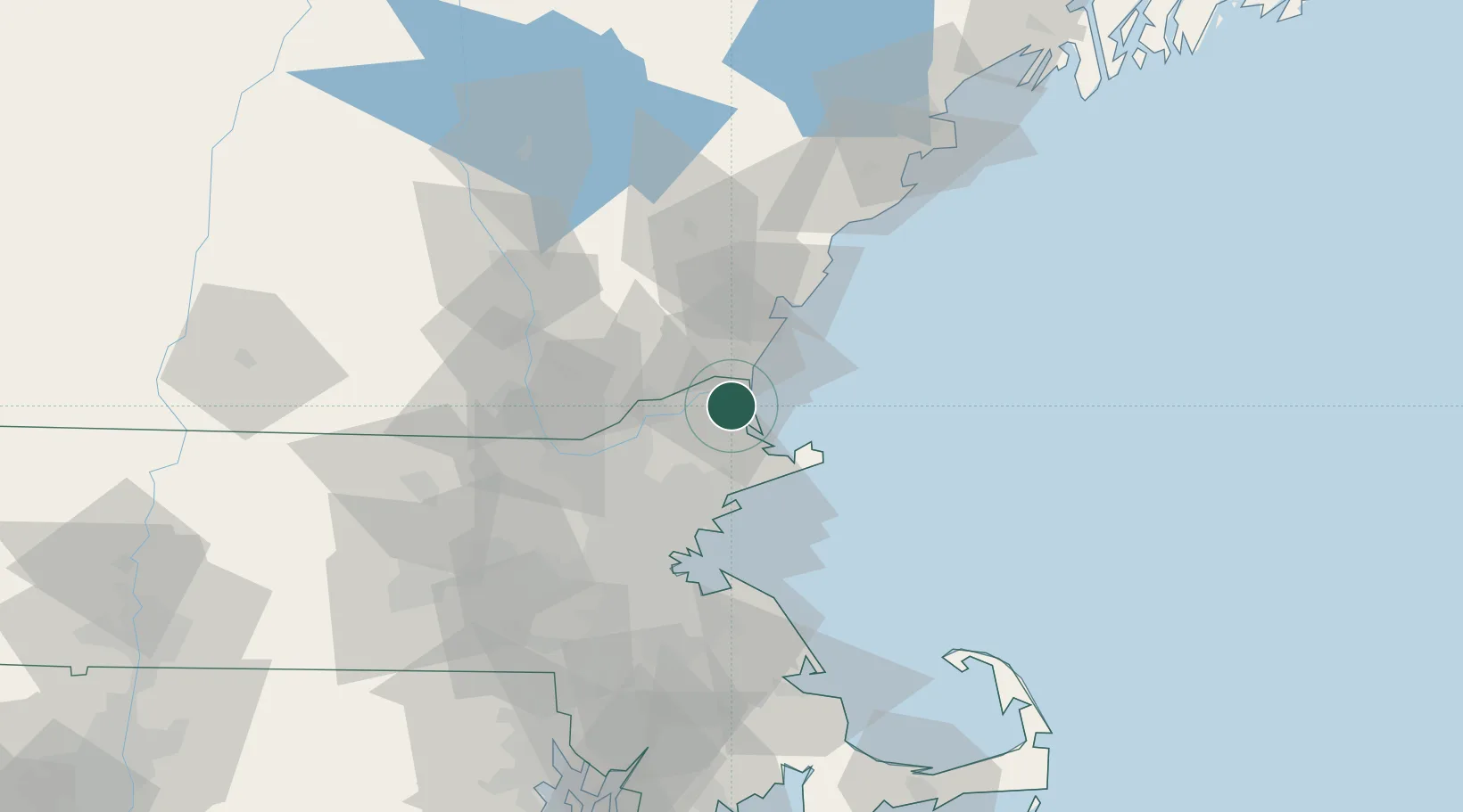
Nearby Logistics Neighbours

Cities
  1. 1Newburyport0 km
  2. 2Rowley9 km
  3. 3South Hampton10 km
  4. 4Newton16 km
  5. 5Bradford18 km
Nearest neighbours — logibook spatial index (haversine) over the source coordinates
Ports
  1. 1Newburyport2 km
  2. 2Rockport25 km
  3. 3Beverly30 km
  4. 4Salem32 km
  5. 5Portsmouth33 km
Nearest neighbours — logibook spatial index (haversine) over the source coordinates
Airports
  1. 1Lawrence Municipal Airport23 km
  2. 2Beverly Regional Airport24 km
  3. 3Portsmouth International Airport at Pease31 km
  4. 4Manchester-Boston Regional Airport49 km
  5. 5Boston Logan International Airport50 km
Nearest neighbours — logibook spatial index (haversine) over the source coordinates
Trade Zones
  1. 1FTZ No. 081 Portsmouth29 km
  2. 2FTZ No. 027 Boston58 km
  3. 3FTZ No. 105 Providence and North Kingstown120 km
  4. 4FTZ No. 028 New Bedford127 km
  5. 5FTZ No. 268 Brattleboro142 km
Nearest neighbours — logibook spatial index (haversine) over the source coordinates
DatabookThe Record of Consolidated Knowledge
United States beyond logistics?
Browse databook

All Sources

LocationsUN/LOCODE
UN/LOCODE — free
Portsthe NGA World Port Index
Public domain (US gov)
AirportsOurAirports
Public domain
Trade Zonesthe World Bank SEZ database
CC BY 4.0
Trade ZonesOpen Zone Map
CC BY
← United States locations