Transport Functions
Rail
Road
Hub Profile
Place type
Populated place
Region
Wisconsin
Population
1,624
Time zone
America/Chicago
Elevation
263 m
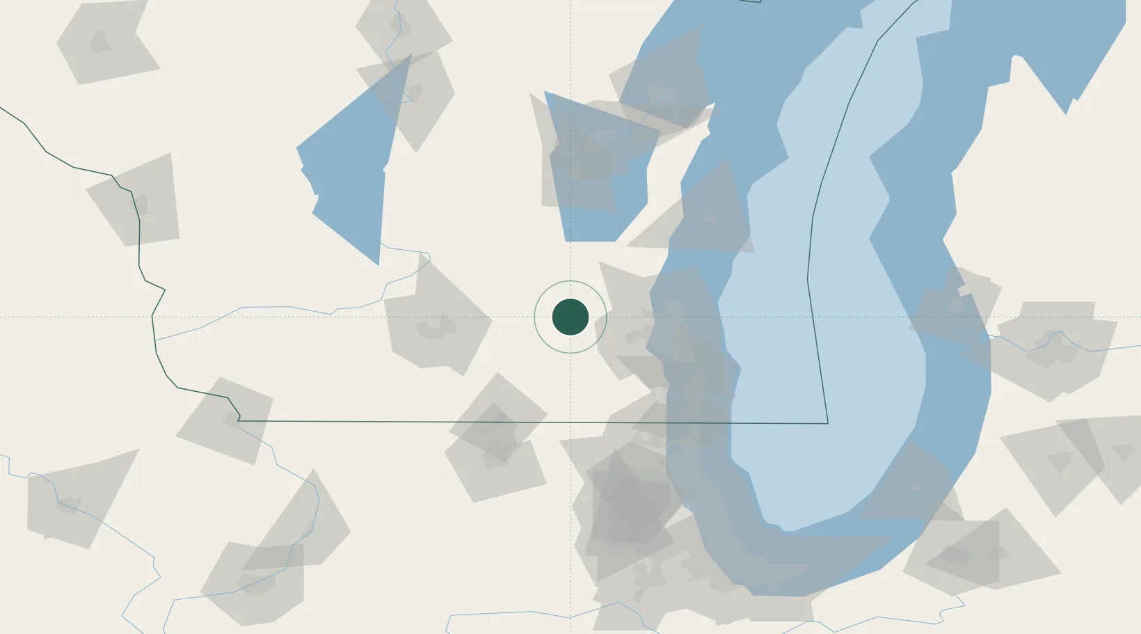
Location
Nearby Logistics Neighbours
Cities
- 1Delafield19 km
- 2Dousman20 km
- 3Hustisford20 km
- 4Clyman21 km
- 5Reeseville25 km
Ports
- 1Milwaukee60 km
- 2Port Washington65 km
- 3Racine81 km
- 4Kenosha90 km
- 5Sheboygan99 km
Airports
Trade Zones
- 1FTZ No. 041 Milwaukee41 km
- 2FTZ No. 266 Dane County90 km
- 3FTZ No. 292 Lake County109 km
- 4FTZ No. 176 Rockford111 km
- 5FTZ No. 167 Brown County148 km
DatabookThe Record of Consolidated Knowledge
United States beyond logistics?