Transport Functions
Road
Multimodal
Hub Profile
Place type
Populated place
Region
Georgia
Time zone
America/New_York
Elevation
198 m
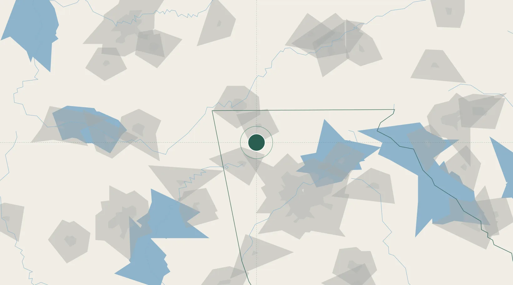
Location
Nearby Logistics Neighbours
Cities
- 1Rocky Face28 km
- 2Fairmount30 km
- 3Summerville32 km
- 4Varnell39 km
- 5Lyerly40 km
Ports
- 1Savannah456 km
- 2Beaufort466 km
- 3Port Royal468 km
- 4Darien486 km
- 5Panama City495 km
Airports
Trade Zones
- 1FTZ No. 134 Chattanooga70 km
- 2FTZ No. 026 Atlanta104 km
- 3FTZ No. 083 Huntsville162 km
- 4FTZ No. 148 Knoxville175 km
- 5FTZ No. 270 Lawrence County176 km
DatabookThe Record of Consolidated Knowledge
United States beyond logistics?