Transport Functions
Road
Multimodal
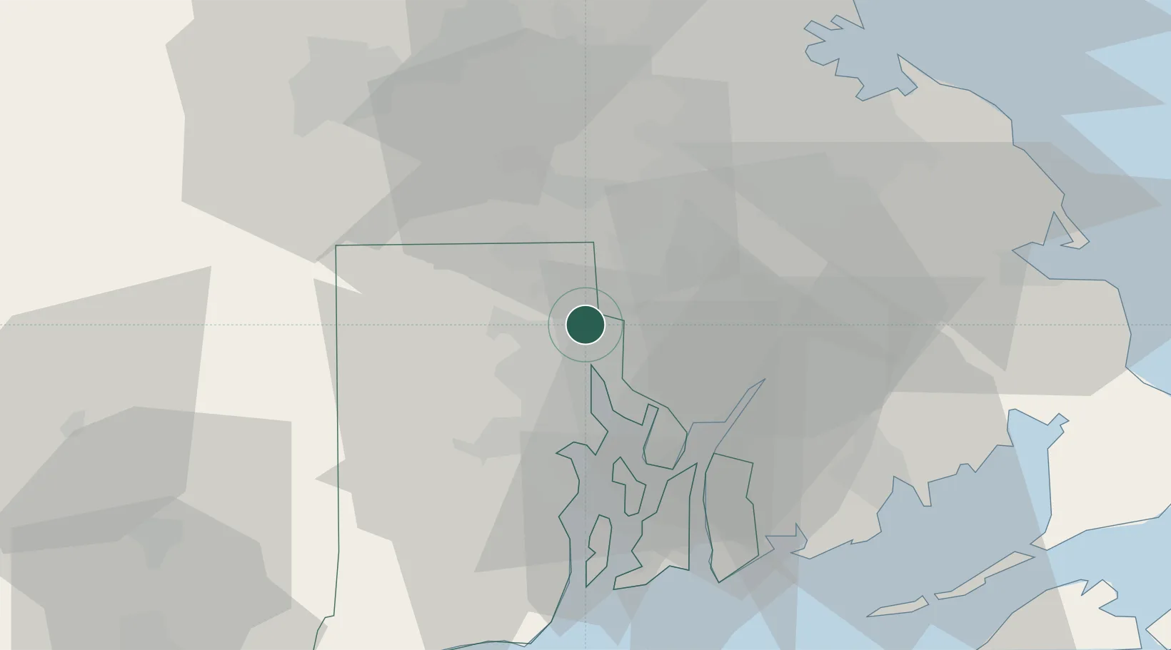
Hub Profile
Place type
Populated place
Region
Rhode Island
Time zone
America/New_York
Elevation
33 m
Location
Nearby Logistics Neighbours
Cities
- 1South Attleboro5 km
- 2Rumford6 km
- 3Riverside14 km
- 4Milan17 km
- 5Fiskeville21 km
Ports
- 1Providence9 km
- 2Bristol27 km
- 3Fall River28 km
- 4Davisville Depot30 km
- 5Tiverton32 km
Airports
Trade Zones
DatabookThe Record of Consolidated Knowledge
United States beyond logistics?