Transport Functions
Port
Road
Hub Profile
Place type
Populated place
Region
Rhode Island
Time zone
America/New_York
Elevation
167 m
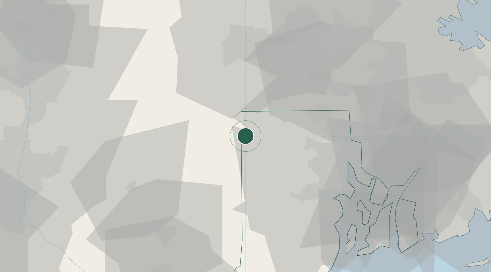
Location
Nearby Logistics Neighbours
Cities
- 1Foster8 km
- 2North Grosvenor Dale11 km
- 3Putnam Heights11 km
- 4Rogers13 km
- 5Milan15 km
Ports
- 1Providence34 km
- 2Davisville Depot46 km
- 3Quonset Point49 km
- 4Norwich51 km
- 5Bristol51 km
Airports
Trade Zones
DatabookThe Record of Consolidated Knowledge
United States beyond logistics?