Transport Functions
Road
Multimodal
Hub Profile
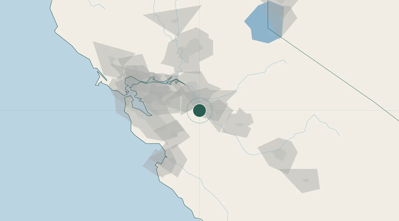
Place type
Populated place
Region
California
Population
603
Time zone
America/Los_Angeles
Elevation
27 m
Location
Nearby Logistics Neighbours
Cities
- 1Vernalis12 km
- 2San Joaquin River14 km
- 3Salida20 km
- 4Keyes26 km
- 5Atlanta31 km
Airports
Trade Zones
DatabookThe Record of Consolidated Knowledge
United States beyond logistics?