Transport Functions
Rail
Road
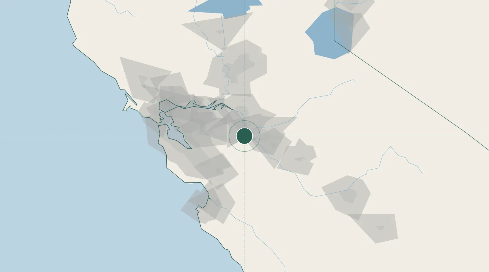
Hub Profile
Place type
Populated place
Region
California
Time zone
America/Los_Angeles
Elevation
32 m
Location
Nearby Logistics Neighbours
Cities
- 1San Joaquin River4 km
- 2Westley12 km
- 3Salida19 km
- 4French Camp25 km
- 5Atlanta25 km
Airports
Trade Zones
DatabookThe Record of Consolidated Knowledge
United States beyond logistics?