Large airport · United States

Norman Y. Mineta San Jose International AirportKSJC

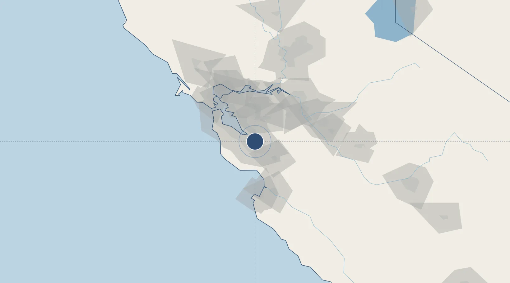
37.3625°, -121.9292°
11,000 ft
Longest runway
2
Runways
62 ft
Elevation

Runway & Layout

Norman Y. Mineta San Jose International Airport runway & taxiway layout
Runway & taxiway layout — OpenStreetMap (ODbL) / OurAirports

Radio Frequencies

ATIS
126.95 MHz
TWR
124 MHz
GND
121.7 MHz
CLD
118 MHz
CLNC DEL
APP
33.82 MHz
NORCAL APP
APP
120.1 MHz
NORCAL APP
DEP
121.3 MHz
NORCAL DEP
CTAF
124 MHz
OurAirports

Navaids

SJC VOR-DME San Jose 114.10 MHz
OurAirports

Runways · 2

RunwayDimensions SurfaceTrue headingLit
12L/30R 11,000 × 150ft Concrete 139°
12R/30L 11,000 × 150ft Concrete 139°
OurAirports

Airport Specifications

IATA code
SJC
OurAirports
ICAO code
KSJC
OurAirports
Airport class
Large airport
OurAirports
Scheduled service
Yes
OurAirports
Runway surface
Concrete
OurAirports
Served city
San Jose
OurAirports

Location

Location of KSJC
Natural Earth 10m (public domain) · California · KSJC · 37.36, -121.93GoogleOSMYandex

Nearby Logistics Neighbours

Airports
  1. 1Moffett Federal Airfield12 km
  2. 2Palo Alto Airport20 km
  3. 3San Carlos Airport33 km
  4. 4San Francisco Bay Oakland International Airport47 km
  5. 5San Francisco International Airport49 km
Nearest neighbours — logibook spatial index (haversine) over the source coordinates
Cities
  1. 1San Jose11 km
  2. 2Guadalupe18 km
  3. 3Sunol25 km
  4. 4Portola Valley27 km
  5. 5Woodside31 km
Nearest neighbours — logibook spatial index (haversine) over the source coordinates
Ports
  1. 1Redwood City31 km
  2. 2Santa Cruz45 km
  3. 3Davenport45 km
  4. 4Alameda56 km
  5. 5Oakland62 km
Nearest neighbours — logibook spatial index (haversine) over the source coordinates
Trade Zones
  1. 1FTZ No. 018 San Jose5 km
  2. 2FTZ No. 056 Oakland58 km
  3. 3FTZ No. 003 San Francisco63 km
  4. 4FTZ No. 231 Stockton84 km
  5. 5FTZ No. 226 Merced, Madera and Fresno Counties128 km
Nearest neighbours — logibook spatial index (haversine) over the source coordinates
DatabookThe Record of Consolidated Knowledge
United States beyond logistics?
Browse databook

All Sources

AirportsOurAirports
Public domain
Portsthe NGA World Port Index
Public domain (US gov)
LocationsUN/LOCODE
UN/LOCODE — free
Trade Zonesthe World Bank SEZ database
CC BY 4.0
Trade ZonesOpen Zone Map
CC BY
InfrastructureOpenStreetMap
ODbL 1.0
← United States airports