Transport Functions
Multimodal
Hub Profile
Place type
Populated place
Region
Ohio
Time zone
America/New_York
Elevation
345 m
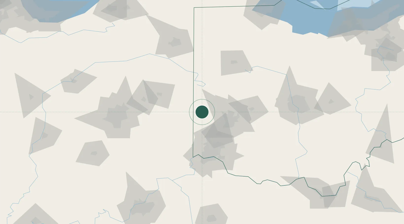
Location
Nearby Logistics Neighbours
Cities
- 1Fountain City23 km
- 2Brookville23 km
- 3Centerville29 km
- 4West Milton31 km
- 5Greens Fork31 km
Ports
- 1Toledo226 km
- 2Port Clinton233 km
- 3Sandusky240 km
- 4Huron246 km
- 5Monroe249 km
Airports
Trade Zones
- 1FTZ No. 100 Dayton34 km
- 2FTZ No. 046 CIncinnati88 km
- 3FTZ No. 054 Clinton County91 km
- 4FTZ No. 047 Boone County104 km
- 5FTZ No. 072 Indianapolis142 km
DatabookThe Record of Consolidated Knowledge
United States beyond logistics?