UN/LOCODE hub · United States
USL99
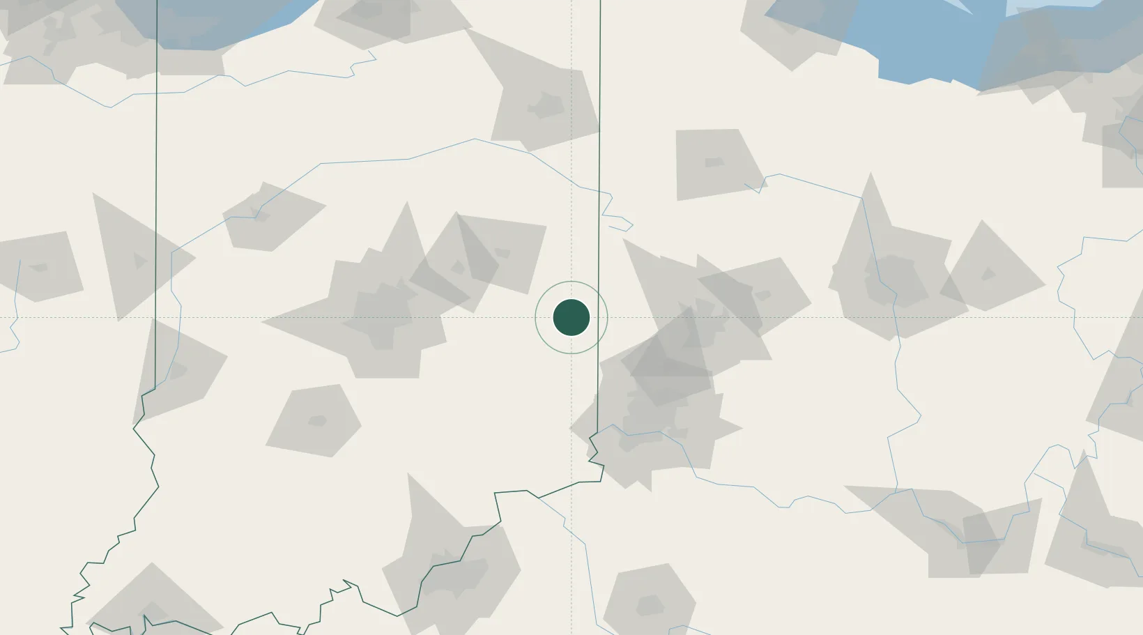
Centerville
39.8000°, -84.9833°
2,576
Population
2
Transport functions
Transport Functions
Port
Multimodal
Hub Profile
Place type
Populated place
Region
Indiana
Population
2,576
Time zone
America/Indiana/Indianapolis
Elevation
309 m
Location
Nearby Logistics Neighbours
Cities
- 1Greens Fork10 km
- 2Fountain City18 km
- 3Liberty19 km
- 4Hagerstown19 km
- 5Hamburg29 km
Ports
- 1Toledo247 km
- 2Port Clinton258 km
- 3Sandusky265 km
- 4Michigan City269 km
- 5Monroe270 km
Airports
Trade Zones
- 1FTZ No. 100 Dayton60 km
- 2FTZ No. 046 CIncinnati88 km
- 3FTZ No. 047 Boone County94 km
- 4FTZ No. 054 Clinton County110 km
- 5FTZ No. 072 Indianapolis114 km
DatabookThe Record of Consolidated Knowledge
United States beyond logistics?