UN/LOCODE hub · United States
USGKJ
Greens Fork
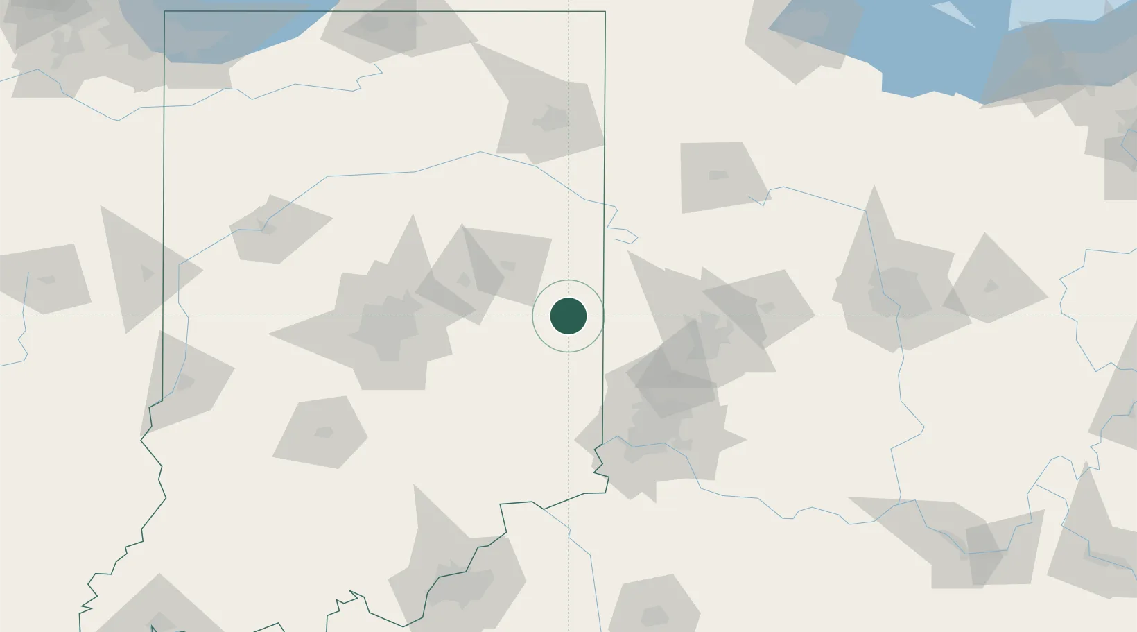
39.8833°, -85.0333°
412
Population
2
Transport functions
Transport Functions
Road
Multimodal
Hub Profile
Place type
Populated place
Region
Indiana
Population
412
Time zone
America/Indiana/Indianapolis
Elevation
308 m
Location
Nearby Logistics Neighbours
Cities
- 1Centerville10 km
- 2Hagerstown12 km
- 3Fountain City12 km
- 4Liberty29 km
- 5Hamburg31 km
Ports
- 1Toledo241 km
- 2Port Clinton254 km
- 3Michigan City259 km
- 4Sandusky262 km
- 5Monroe264 km
Airports
Trade Zones
- 1FTZ No. 100 Dayton65 km
- 2FTZ No. 046 CIncinnati98 km
- 3FTZ No. 047 Boone County103 km
- 4FTZ No. 072 Indianapolis111 km
- 5FTZ No. 054 Clinton County118 km
DatabookThe Record of Consolidated Knowledge
United States beyond logistics?