UN/LOCODE hub · United States
USZH4
Palestine
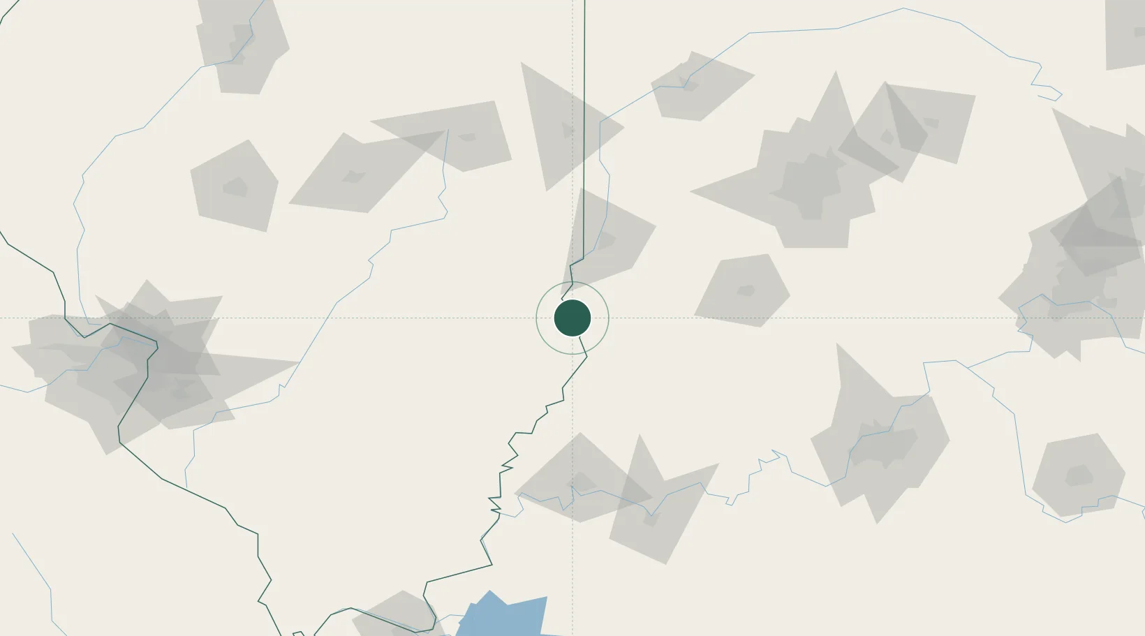
39.0000°, -87.6000°
1,331
Population
1
Transport functions
Transport Functions
Multimodal
Hub Profile
Place type
Populated place
Region
Illinois
Population
1,331
Time zone
America/Chicago
Elevation
137 m
Location
Nearby Logistics Neighbours
Cities
- 1Flat Rock13 km
- 2Marshall44 km
- 3Martinsville44 km
- 4Casey46 km
- 5West Terre Haute54 km
Ports
- 1Gary292 km
- 2Indiana Harbor297 km
- 3Calumet Harbor304 km
- 4Michigan City310 km
- 5Chicago321 km
Airports
Trade Zones
- 1FTZ No. 177 Evansville112 km
- 2FTZ No. 072 Indianapolis137 km
- 3FTZ No. 245 Decatur157 km
- 4FTZ No. 029 Louisville176 km
- 5FTZ No. 031 Granite City227 km
DatabookThe Record of Consolidated Knowledge
United States beyond logistics?